


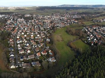
5,3 km | 5,9 km-effort
Buckenhofer Forst: Descubra las mejores excursiones: 4 a pie. Todos estos circuitos, recorridos, itinerarios y actividades al aire libre están disponibles en nuestras aplicaciones SityTrail para smartphone y tablet.
A pie


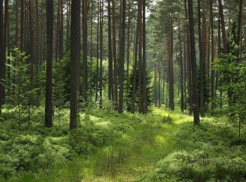
• Trail created by Nordic Walking Park Buckenhof Uttenreuth. geprüft (Feb. 2015 by cycling_zno) Symbol: Nordic Walker...
A pie
• Trail created by Nordic Walking Park Buckenhof Uttenreuth. geprüft (Feb. 2015 by cycling_zno) Symbol: Nordic Walker...
A pie
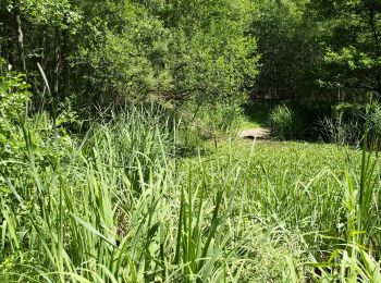
• name unknown Symbol: Blauer Ring auf weiss
A pie
• Trail created by Nordic Walking Park Buckenhof Uttenreuth. geprüft (Feb. 2015 by cycling_zno) Symbol: Nordic Walker...
4 excursiones mostradas en 4
Aplicación GPS de excursión GRATIS
 SityTrail
IGN / Institutos geográficos
SityTrail World
El mundo es suyo