![](/images/other/stat-length.png)
Haßfurt, Landkreis Haßberge: Los mejores itinerarios de excursión, recorridos, paseos y sendas
Haßfurt: Descubra las mejores excursiones: 6 a pie. Todos estos circuitos, recorridos, itinerarios y actividades al aire libre están disponibles en nuestras aplicaciones SityTrail para smartphone y tablet.
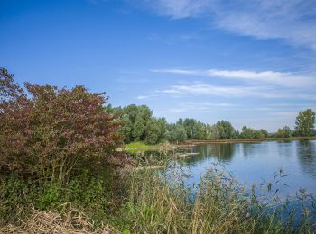
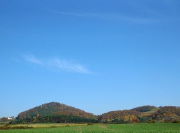
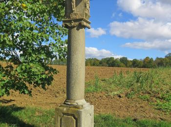
Los mejores recorridos (6)
![Excursión A pie Haßfurt - Lauftour HAS4 - Photo](https://media.geolcdn.com/t/350/260/076e4c13-279b-43ee-8078-8a52f31d58bb.jpeg&format=jpg&maxdim=2)
![A pie A pie](https://static1.geolcdn.com/sitytour/trail-icons/100.png)
Km
A pie
![](/images/other/stat-length.png)
![](https://static1.geolcdn.com/siteimages/upload/files/1508320355ic_sort_den_pos_24dp.png)
![](https://static1.geolcdn.com/siteimages/upload/files/1508320355ic_sort_den_neg_24dp.png)
![](https://static1.geolcdn.com/siteimages/upload/files/16400158638029165_repeat_loop_refresh_sync_direction_icon.png)
• Trail created by Landkreis Haßberge/Laufparadies Haßberge. Symbol: Blaue HAS4 auf weißem Hintergrund
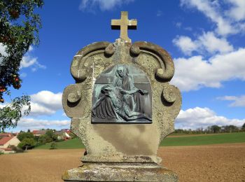
![Excursión A pie Haßfurt - Lauftour HAS3 - Photo](https://media.geolcdn.com/t/350/260/b29d640c-a0ea-49b0-8aeb-072fa3a8e909.jpeg&format=jpg&maxdim=2)
![A pie A pie](https://static1.geolcdn.com/sitytour/trail-icons/100.png)
Km
A pie
![](/images/other/stat-length.png)
![](https://static1.geolcdn.com/siteimages/upload/files/1508320355ic_sort_den_pos_24dp.png)
![](https://static1.geolcdn.com/siteimages/upload/files/1508320355ic_sort_den_neg_24dp.png)
![](https://static1.geolcdn.com/siteimages/upload/files/16400158638029165_repeat_loop_refresh_sync_direction_icon.png)
• Trail created by Landkreis Haßberge/Laufparadies Haßberge. Symbol: Blaue HAS3 auf weißem Hintergrund
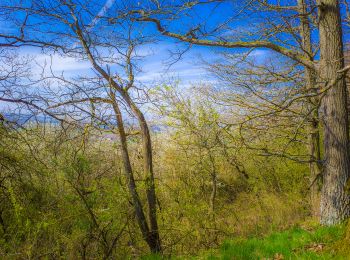
![Excursión A pie Haßfurt - Lauftour HAS2 - Photo](https://media.geolcdn.com/t/350/260/bf8a675b-b9f3-487b-8272-ecc8c93198e3.jpeg&format=jpg&maxdim=2)
![A pie A pie](https://static1.geolcdn.com/sitytour/trail-icons/100.png)
Km
A pie
![](/images/other/stat-length.png)
![](https://static1.geolcdn.com/siteimages/upload/files/1508320355ic_sort_den_pos_24dp.png)
![](https://static1.geolcdn.com/siteimages/upload/files/1508320355ic_sort_den_neg_24dp.png)
![](https://static1.geolcdn.com/siteimages/upload/files/16400158638029165_repeat_loop_refresh_sync_direction_icon.png)
• Trail created by Landkreis Haßberge/Laufparadies Haßberge. Symbol: Blaue HAS2 auf weißem Hintergrund
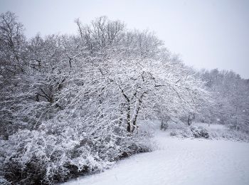
![Excursión A pie Haßfurt - Lauftour HAS5 - Photo](https://media.geolcdn.com/t/350/260/c13b2b94-147c-4957-b7f1-56901bee32f8.jpeg&format=jpg&maxdim=2)
![A pie A pie](https://static1.geolcdn.com/sitytour/trail-icons/100.png)
Km
A pie
![](/images/other/stat-length.png)
![](https://static1.geolcdn.com/siteimages/upload/files/1508320355ic_sort_den_pos_24dp.png)
![](https://static1.geolcdn.com/siteimages/upload/files/1508320355ic_sort_den_neg_24dp.png)
![](https://static1.geolcdn.com/siteimages/upload/files/16400158638029165_repeat_loop_refresh_sync_direction_icon.png)
• Trail created by Landkreis Haßberge/Laufparadies Haßberge. Symbol: Blaue HAS5 auf weißem Hintergrund
![Excursión A pie Haßfurt - Rund um die Hohe Wann - Photo](https://media.geolcdn.com/t/350/260/9805a2ac-3994-4e43-bd25-ac7e09fd749a.jpeg&format=jpg&maxdim=2)
![A pie A pie](https://static1.geolcdn.com/sitytour/trail-icons/100.png)
Km
A pie
![](/images/other/stat-length.png)
![](https://static1.geolcdn.com/siteimages/upload/files/1508320355ic_sort_den_pos_24dp.png)
![](https://static1.geolcdn.com/siteimages/upload/files/1508320355ic_sort_den_neg_24dp.png)
![](https://static1.geolcdn.com/siteimages/upload/files/16400158638029165_repeat_loop_refresh_sync_direction_icon.png)
• Trail created by Stadt Haßfurt; Stadt Zeil. Symbol: Zwei grüne Hügel auf gelbem Hintergrund
![Excursión A pie Haßfurt - Lauftour HAS1 - Photo](https://media.geolcdn.com/t/350/260/c2cd03d1-15d8-43bb-9933-fab2026beea5.jpeg&format=jpg&maxdim=2)
![A pie A pie](https://static1.geolcdn.com/sitytour/trail-icons/100.png)
Km
A pie
![](/images/other/stat-length.png)
![](https://static1.geolcdn.com/siteimages/upload/files/1508320355ic_sort_den_pos_24dp.png)
![](https://static1.geolcdn.com/siteimages/upload/files/1508320355ic_sort_den_neg_24dp.png)
![](https://static1.geolcdn.com/siteimages/upload/files/16400158638029165_repeat_loop_refresh_sync_direction_icon.png)
• Trail created by Landkreis Haßberge/Laufparadies Haßberge. Symbol: Blaues HAS1 auf weißem Hintergrund
6 excursiones mostradas en 6
Aplicación GPS de excursión GRATIS