
- Excursiones
- Outdoor
- Germany
- Baviera
- Landkreis Forchheim
- Pretzfeld
Pretzfeld, Landkreis Forchheim: Los mejores itinerarios de excursión, recorridos, paseos y sendas
Pretzfeld: Descubra las mejores excursiones: 14 a pie. Todos estos circuitos, recorridos, itinerarios y actividades al aire libre están disponibles en nuestras aplicaciones SityTrail para smartphone y tablet.
Los mejores recorridos (14)
Km
A pie


• Trail created by Landkreis Forchheim. Symbol: W2 in weiß auf blauem Hintergrund
Km
A pie


• Trail created by Landkreis Forchheim. Symbol: W1 in weiß auf grünem Hintergrund
Km
A pie


• Symbol: W3 in weiß auf rotem Hintergrund
Km
A pie


• Trail created by Gemeinde Pretzfeld. abgeschlossen (May. 2013 by cycling_zno) Symbol: Roter Ring auf weißem Grund
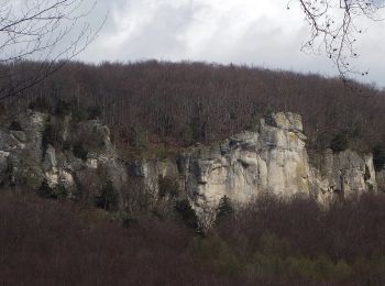
Km
A pie


• Trail created by Gemeinde Gößweinstein. abgeschlossen (Mär. 2013 by cycling_zno) Symbol: Schwarzer Ring auf weißem ...
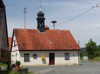
Km
A pie


• Symbol: Grüner Punkt auf weißem Hintergrund
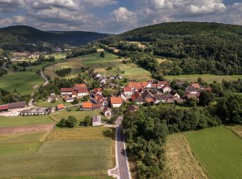
Km
A pie


• Trail created by nicht bekannt. abgeschlossen (Feb. 2013 by cycling_zno) Symbol: Gelber Punkt auf weißem Grund
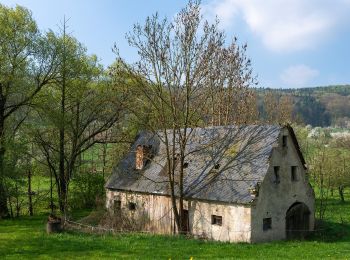
Km
A pie


• Trail created by Gemeinde Pretzfeld. abgeschlossen (May. 2013 by cycling_zno) Symbol: grüner Ring auf weißem Grund
Km
A pie


• Trail created by Gemeinde Pretzfeld. abgeschlossen (Feb. 2013 by cycling_zno) Symbol: grüner Ring auf weißem Grund

Km
A pie


• Trail created by nicht bekannt. abgeschlossen (Feb. 2013 by cycling_zno) Symbol: blauer Kreis auf weißem Grund
Km
A pie


• Trail created by nicht bekannt. abgeschlossen (Feb. 2013 by cycling_zno) Symbol: gelber Ring auf weißem Grund
Km
A pie


• Trail created by nicht bekannt. abgeschlossen (Feb. 2013 by cycling_zno) Symbol: Roter Ring auf weißem Grund

Km
A pie


• Trail created by nicht bekannt. abgeschlossen (Feb. 2013 by cycling_zno) Symbol: Blauer Punkt auf weißem Grund

Km
A pie


• Trail created by Fränkische-Schweiz-Verein. Symbol: Zwei rote Kirschen auf weißem Grund
14 excursiones mostradas en 14
Aplicación GPS de excursión GRATIS


 SityTrail


