
Roth, Landkreis Roth: Los mejores itinerarios de excursión, recorridos, paseos y sendas
Roth: Descubra las mejores excursiones: 12 a pie. Todos estos circuitos, recorridos, itinerarios y actividades al aire libre están disponibles en nuestras aplicaciones SityTrail para smartphone y tablet.
Los mejores recorridos (12)

Km
A pie


• Trail created by Zweckverband Rothsee. abgeschlossen (Nov. 2013 by cycling_zno) Symbol: Weisse 6 auf blauem Grund

Km
A pie


• Trail created by Zweckverband Rothsee. abgeschlossen (Nov. 2013 by cycling_zno) Symbol: Weisse 2 auf blauem Grund

Km
A pie


• Trail created by Stadt Roth. Symbol: ?

Km
A pie


• Trail created by Zweckverband Rothsee. abgeschlossen (Nov. 2013 by cycling_zno) Symbol: Weisse 9 auf blauem Grund
Km
A pie


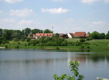
• Trail created by Stadt Roth. Symbol: t.b.d.

Km
A pie


• Trail created by Stadt Hilpoltstein. Symbol: t.b.d.
Km
A pie


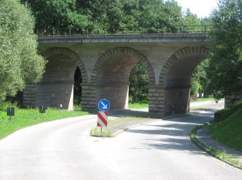
• Trail created by Stadt Roth. Symbol: ?
Km
A pie


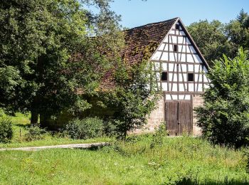
• Trail created by Gemeinde Pyrbaum. abgeschlossen (Jan. 2013 by cycling_zno) Symbol: Schwarze 2 auf gelbem Grund
Km
A pie


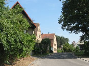
• Trail created by Stadt Roth. Symbol: ?
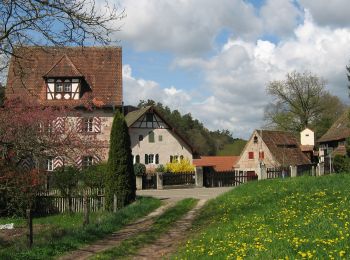
Km
A pie


• Trail created by Stadt Roth. Symbol: ?

Km
A pie


• Trail created by Stadt Roth. Symbol: t.b.d.

Km
A pie


• Trail created by Zweckverband Rothsee. abgeschlossen (Nov. 2013 by cycling_zno) Symbol: Weisse 7 auf blauem Grund
12 excursiones mostradas en 12
Aplicación GPS de excursión GRATIS


 SityTrail


