![](/images/other/stat-length.png)
- Excursiones
- Outdoor
- Germany
- Baviera
- Landkreis Amberg-Sulzbach
- Auerbach in der Oberpfalz
Auerbach in der Oberpfalz, Landkreis Amberg-Sulzbach: Los mejores itinerarios de excursión, recorridos, paseos y sendas
Auerbach in der Oberpfalz: Descubra las mejores excursiones: 5 a pie. Todos estos circuitos, recorridos, itinerarios y actividades al aire libre están disponibles en nuestras aplicaciones SityTrail para smartphone y tablet.
Los mejores recorridos (5)
![Excursión A pie Auerbach in der Oberpfalz - Auerbacher Obstler-Weg - Photo](https://media.geolcdn.com/t/350/260/926567ca-ac0c-4f83-903d-d390303e62d1.jpeg&format=jpg&maxdim=2)
![A pie A pie](https://static1.geolcdn.com/sitytour/trail-icons/100.png)
Km
A pie
![](/images/other/stat-length.png)
![](https://static1.geolcdn.com/siteimages/upload/files/1508320355ic_sort_den_pos_24dp.png)
![](https://static1.geolcdn.com/siteimages/upload/files/1508320355ic_sort_den_neg_24dp.png)
![](https://static1.geolcdn.com/siteimages/upload/files/16400158638029165_repeat_loop_refresh_sync_direction_icon.png)
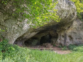
• Trail created by Stadt Auerbach. Symbol: stilisiertes Obst
![Excursión A pie Auerbach in der Oberpfalz - Auerbacher Mühlenweg - Photo](https://media.geolcdn.com/t/350/260/2b8092e6-af97-401d-adbd-1473036d9686.jpeg&format=jpg&maxdim=2)
![A pie A pie](https://static1.geolcdn.com/sitytour/trail-icons/100.png)
Km
A pie
![](/images/other/stat-length.png)
![](https://static1.geolcdn.com/siteimages/upload/files/1508320355ic_sort_den_pos_24dp.png)
![](https://static1.geolcdn.com/siteimages/upload/files/1508320355ic_sort_den_neg_24dp.png)
![](https://static1.geolcdn.com/siteimages/upload/files/16400158638029165_repeat_loop_refresh_sync_direction_icon.png)
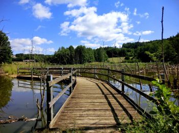
• Trail created by Stadt Auerbach / Fränkischer Albverein. Symbol: Mühlrad auf grünem Grund
![Excursión A pie Auerbach in der Oberpfalz - Neuhaus-Rundwanderweg No.9 - Photo](https://media.geolcdn.com/t/350/260/24c23395-ed5f-4337-98c6-2a7318d03c93.jpeg&format=jpg&maxdim=2)
![A pie A pie](https://static1.geolcdn.com/sitytour/trail-icons/100.png)
Km
A pie
![](/images/other/stat-length.png)
![](https://static1.geolcdn.com/siteimages/upload/files/1508320355ic_sort_den_pos_24dp.png)
![](https://static1.geolcdn.com/siteimages/upload/files/1508320355ic_sort_den_neg_24dp.png)
![](https://static1.geolcdn.com/siteimages/upload/files/16400158638029165_repeat_loop_refresh_sync_direction_icon.png)
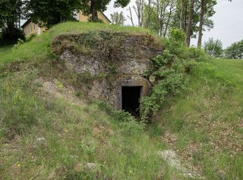
• Trail created by Markt Neuhaus. geprüft (Jan. 2015 by cycling_zno) Symbol: Weiße 9 auf rotem Grund
![Excursión A pie Auerbach in der Oberpfalz - Neuhaus-Rundwanderweg No.2 - Photo](https://media.geolcdn.com/t/350/260/b35e8cb8-65c4-4dbf-ac5a-418b17d4dfdd.jpeg&format=jpg&maxdim=2)
![A pie A pie](https://static1.geolcdn.com/sitytour/trail-icons/100.png)
Km
A pie
![](/images/other/stat-length.png)
![](https://static1.geolcdn.com/siteimages/upload/files/1508320355ic_sort_den_pos_24dp.png)
![](https://static1.geolcdn.com/siteimages/upload/files/1508320355ic_sort_den_neg_24dp.png)
![](https://static1.geolcdn.com/siteimages/upload/files/16400158638029165_repeat_loop_refresh_sync_direction_icon.png)
• Trail created by Markt Neuhaus. geprüft (Jan. 2015 by cycling_zno) Symbol: Weiße 2 auf rotem Grund
![Excursión A pie Auerbach in der Oberpfalz - Auerbacher Eichkatzl-Weg - Photo](https://media.geolcdn.com/t/350/260/ext.jpg?maxdim=2&url=https%3A%2F%2Fstatic1.geolcdn.com%2Fsiteimages%2Fupload%2Ffiles%2F1545311037marcheuse_200dpi.jpg)
![A pie A pie](https://static1.geolcdn.com/sitytour/trail-icons/100.png)
Km
A pie
![](/images/other/stat-length.png)
![](https://static1.geolcdn.com/siteimages/upload/files/1508320355ic_sort_den_pos_24dp.png)
![](https://static1.geolcdn.com/siteimages/upload/files/1508320355ic_sort_den_neg_24dp.png)
![](https://static1.geolcdn.com/siteimages/upload/files/16400158638029165_repeat_loop_refresh_sync_direction_icon.png)
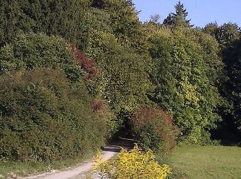
• Trail created by Stadt Auerbach. Symbol: stilisiertes Eichhörnchen
5 excursiones mostradas en 5
Aplicación GPS de excursión GRATIS