


4,9 km | 8,5 km-effort
Schliersee: Descubra las mejores excursiones: 10 a pie. Todos estos circuitos, recorridos, itinerarios y actividades al aire libre están disponibles en nuestras aplicaciones SityTrail para smartphone y tablet.
A pie


• Trail created by Markt Schliersee. Symbol: Gelbe Schilder mit schwarzer Schrift
A pie
• Trail created by Markt Schliersee.
A pie
• Trail created by Markt Schliersee. Symbol: Gelbe Schilder mit schwarzer Schrift
A pie
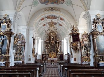
• Trail created by Markt Schliersee. Symbol: Gelbe Schilder mit schwarzer Schrift
A pie
• Trail created by Markt Schliersee. Symbol: Gelbe Schilder mit schwarzer Schrift
A pie
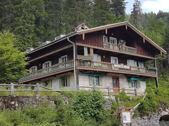
• Trail created by Alpenregion Tegernsee Schliersee. Symbol: Gelbe Schilder mit schwarzer Schrift
A pie
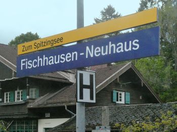
• Trail created by Markt Schliersee. Symbol: Symbolbild einer Lokomotive
A pie
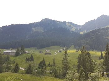
• von Neuhaus auf den Brecherspitz Symbol: Grüne Schilder mit weißer Schrift "SB 1"

A pie
• Trail created by Markt Schliersee. Symbol: Gelbe Schilder mit schwarzer Schrift 680
A pie
• Trail created by Markt Schliersee. Symbol: Gelbe Schilder mit schwarzer Schrift
10 excursiones mostradas en 10
Aplicación GPS de excursión GRATIS
 SityTrail
IGN / Institutos geográficos
SityTrail World
El mundo es suyo