![](/images/other/stat-length.png)
- Excursiones
- Outdoor
- Germany
- Baviera
- Núremberg
Núremberg, Baviera: Los mejores itinerarios de excursión, recorridos, paseos y sendas
Núremberg: Descubra las mejores excursiones: 7 a pie. Todos estos circuitos, recorridos, itinerarios y actividades al aire libre están disponibles en nuestras aplicaciones SityTrail para smartphone y tablet.
Los mejores recorridos (7)
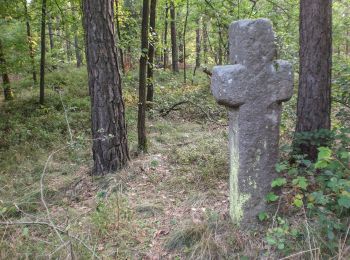
![Excursión A pie - Dr.-Richard-Sauber-Weg - Photo](https://media.geolcdn.com/t/350/260/279a3520-510f-44bc-8284-f1df072aa834.jpeg&format=jpg&maxdim=2)
![A pie A pie](https://static1.geolcdn.com/sitytour/trail-icons/100.png)
Km
A pie
![](/images/other/stat-length.png)
![](https://static1.geolcdn.com/siteimages/upload/files/1508320355ic_sort_den_pos_24dp.png)
![](https://static1.geolcdn.com/siteimages/upload/files/1508320355ic_sort_den_neg_24dp.png)
![](https://static1.geolcdn.com/siteimages/upload/files/16400158638029165_repeat_loop_refresh_sync_direction_icon.png)
• Trail created by Markt Wendelstein. abgeschlossen (Nov. 2013 by cycling_zno) Symbol: Weiße 4 auf blauem Grund
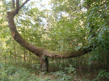
![Excursión A pie - Nürnberg-Langwasser – Pillenreuth - Photo](https://media.geolcdn.com/t/350/260/be9fe543-08e4-4400-b86f-34e0a32eef0e.jpeg&format=jpg&maxdim=2)
![A pie A pie](https://static1.geolcdn.com/sitytour/trail-icons/100.png)
Km
A pie
![](/images/other/stat-length.png)
![](https://static1.geolcdn.com/siteimages/upload/files/1508320355ic_sort_den_pos_24dp.png)
![](https://static1.geolcdn.com/siteimages/upload/files/1508320355ic_sort_den_neg_24dp.png)
![](https://static1.geolcdn.com/siteimages/upload/files/16400158638029165_repeat_loop_refresh_sync_direction_icon.png)
• Trail created by Fränkischer Albverein. completed by cycling_zno Symbol: Grüner Punkt auf weißem Grund
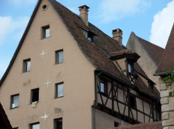
![Excursión A pie - Naturerlebnispfad Pegnitztal-Ost - Photo](https://media.geolcdn.com/t/350/260/86168f79-cae7-4cac-be63-e329ae97b9ef.jpeg&format=jpg&maxdim=2)
![A pie A pie](https://static1.geolcdn.com/sitytour/trail-icons/100.png)
Km
A pie
![](/images/other/stat-length.png)
![](https://static1.geolcdn.com/siteimages/upload/files/1508320355ic_sort_den_pos_24dp.png)
![](https://static1.geolcdn.com/siteimages/upload/files/1508320355ic_sort_den_neg_24dp.png)
![](https://static1.geolcdn.com/siteimages/upload/files/16400158638029165_repeat_loop_refresh_sync_direction_icon.png)
• Trail created by Umweltamt Nürnberg. geprüft (März 2015, by cycling_zno) Symbol: Güne Welle mit Schriftzug auf grau...
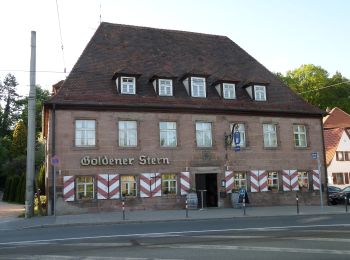
![Excursión A pie - Nürnberg-Erlenstegen – Fischbach bei Nürnberg - Photo](https://media.geolcdn.com/t/350/260/926d7cea-5eb3-4379-9b74-b72e36c3b80f.jpeg&format=jpg&maxdim=2)
![A pie A pie](https://static1.geolcdn.com/sitytour/trail-icons/100.png)
Km
A pie
![](/images/other/stat-length.png)
![](https://static1.geolcdn.com/siteimages/upload/files/1508320355ic_sort_den_pos_24dp.png)
![](https://static1.geolcdn.com/siteimages/upload/files/1508320355ic_sort_den_neg_24dp.png)
![](https://static1.geolcdn.com/siteimages/upload/files/16400158638029165_repeat_loop_refresh_sync_direction_icon.png)
• Trail created by Fränkischer Albverein. complete (cycling_zno) Symbol: Blauer Punk auf weißem Grund
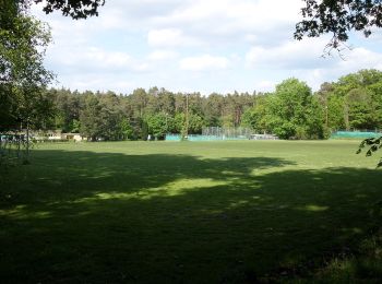
![Excursión A pie - Erlenstegener Rundweg - Photo](https://media.geolcdn.com/t/350/260/b3e36768-2e47-4b71-8a03-8ad72d8a950f.jpeg&format=jpg&maxdim=2)
![A pie A pie](https://static1.geolcdn.com/sitytour/trail-icons/100.png)
Km
A pie
![](/images/other/stat-length.png)
![](https://static1.geolcdn.com/siteimages/upload/files/1508320355ic_sort_den_pos_24dp.png)
![](https://static1.geolcdn.com/siteimages/upload/files/1508320355ic_sort_den_neg_24dp.png)
![](https://static1.geolcdn.com/siteimages/upload/files/16400158638029165_repeat_loop_refresh_sync_direction_icon.png)
• Trail created by Fränkischer Albverein. Symbol: Roter Ring auf weißem Hintergrund
![Excursión A pie - Lehrpfad Reichelsdorf - Photo](https://media.geolcdn.com/t/350/260/ext.jpg?maxdim=2&url=https%3A%2F%2Fstatic1.geolcdn.com%2Fsiteimages%2Fupload%2Ffiles%2F1545311037marcheuse_200dpi.jpg)
![A pie A pie](https://static1.geolcdn.com/sitytour/trail-icons/100.png)
Km
A pie
![](/images/other/stat-length.png)
![](https://static1.geolcdn.com/siteimages/upload/files/1508320355ic_sort_den_pos_24dp.png)
![](https://static1.geolcdn.com/siteimages/upload/files/1508320355ic_sort_den_neg_24dp.png)
![](https://static1.geolcdn.com/siteimages/upload/files/16400158638029165_repeat_loop_refresh_sync_direction_icon.png)
• Trail created by Bund Naturschutz Ortsgruppe Eibach. geprüft (März 2015, by cycling_zno) Symbol: t.b.d.
![Excursión Senderismo - Nuremberg - Photo](https://media.geolcdn.com/t/350/260/ext.jpg?maxdim=2&url=https%3A%2F%2Fstatic1.geolcdn.com%2Fsiteimages%2Fupload%2Ffiles%2F1553511878bg_sport_marche.png)
![Senderismo Senderismo](https://static1.geolcdn.com/sitytour/trail-icons/101.png)
Km
Senderismo
![](/images/other/stat-length.png)
![](https://static1.geolcdn.com/siteimages/upload/files/1508320355ic_sort_den_pos_24dp.png)
![](https://static1.geolcdn.com/siteimages/upload/files/1508320355ic_sort_den_neg_24dp.png)
![](https://static1.geolcdn.com/siteimages/upload/files/16400158638029165_repeat_loop_refresh_sync_direction_icon.png)
7 excursiones mostradas en 7
Aplicación GPS de excursión GRATIS