


6,1 km | 8,7 km-effort
Scheßlitz: Descubra las mejores excursiones: 13 a pie. Todos estos circuitos, recorridos, itinerarios y actividades al aire libre están disponibles en nuestras aplicaciones SityTrail para smartphone y tablet.

A pie


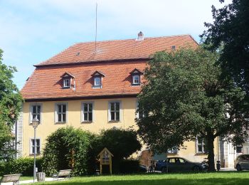
• Trail created by Stadt Scheßlitz.
A pie
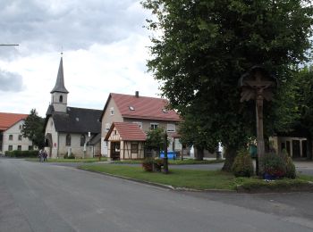
• Trail created by Stadt Scheßlitz.
A pie
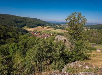
• Trail created by Stadt Scheßlitz.
A pie
• Trail created by Stadt Scheßlitz.

A pie
• Trail created by Stadt Scheßlitz. Symbol: Schwarzes F auf weißem Hintergrund
A pie
• Trail created by Stadt Scheßlitz.

A pie
• Trail created by Stadt Scheßlitz.
A pie
• Trail created by Stadt Scheßlitz.
A pie
• Trail created by Landkreis Lichtenfels; Rennsteigverein 1896 e.V.. abgespalten vom Leinleitertalweg Symbol: Gelber ...
A pie
• Symbol: grüner Ring auf weißem Grund
A pie
• Symbol: blauer Pfeil auf weißem Grund
A pie
• Symbol: rotes ligendes Kreuz auf weißem Grund
A pie
• Symbol: blauer Punkt auf weißem Grund
13 excursiones mostradas en 13
Aplicación GPS de excursión GRATIS
 SityTrail
IGN / Institutos geográficos
SityTrail World
El mundo es suyo