


3,3 km | 4,7 km-effort
Verwaltungskreis Obersimmental-Saanen: Descubra las mejores excursiones: 28 a pie y 8 en bici o bici de montaña. Todos estos circuitos, recorridos, itinerarios y actividades al aire libre están disponibles en nuestras aplicaciones SityTrail para smartphone y tablet.
A pie


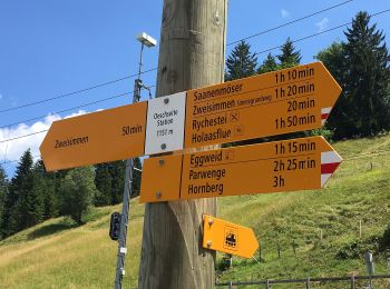
• Symbol: gelber Diamant
A pie
• Symbol: weiss-rot-weiss

A pie
• Trail created by Berner Wanderwege. Gibel - Gütsch Symbol: gelber Rhombus
A pie
• Trail created by Berner Wanderwege. Schwand - Laubbärgli Symbol: Roter Balken auf weissem Rechteck
A pie
• Trail created by Berner Wanderwege. Symbol: weiss-rot-weiss
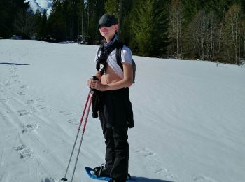
Esquí de fondo
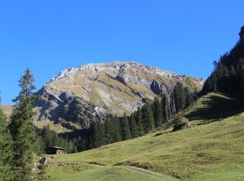
Senderismo
Senderismo
Senderismo

Senderismo
•
Senderismo
•
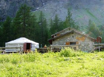
Otra actividad
•
Otra actividad
•
Senderismo
•

Bici de montaña
Senderismo
Bici de montaña
•
Bici de montaña
•
Bici de montaña
•
Senderismo
20 excursiones mostradas en 83
Aplicación GPS de excursión GRATIS
 SityTrail
IGN / Institutos geográficos
SityTrail World
El mundo es suyo