


3,7 km | 4,1 km-effort
District du Gros-de-Vaud: Descubra las mejores excursiones: 11 a pie y 3 en bici o bici de montaña. Todos estos circuitos, recorridos, itinerarios y actividades al aire libre están disponibles en nuestras aplicaciones SityTrail para smartphone y tablet.
A pie


• Trail created by http://www.echallens-tourisme.ch/.
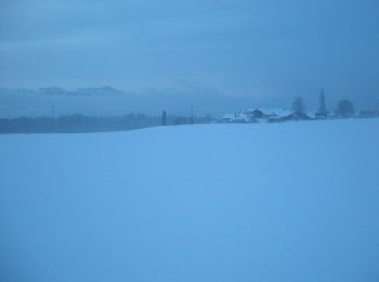
Deportes de invierno
•

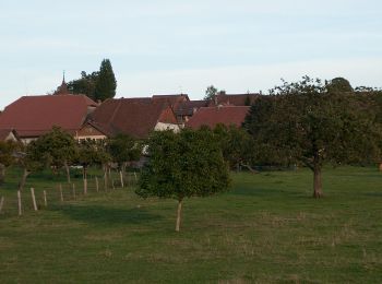
Senderismo
Senderismo
Senderismo

Bicicleta
Senderismo
•
Senderismo

Otra actividad
•
Otra actividad
•
Vía ferrata
•
Otra actividad
•
Otra actividad
•
Otra actividad
•
Otra actividad
•
Senderismo
Otra actividad
•
Otra actividad
•
Otra actividad
Otra actividad
20 excursiones mostradas en 32
Aplicación GPS de excursión GRATIS
 SityTrail
IGN / Institutos geográficos
SityTrail World
El mundo es suyo