


14,2 km | 17,2 km-effort
District de Morges: Descubra las mejores excursiones: 35 a pie, 10 en bici o bici de montaña y 1 recorridos ecuestres. Todos estos circuitos, recorridos, itinerarios y actividades al aire libre están disponibles en nuestras aplicaciones SityTrail para smartphone y tablet.
Senderismo


Senderismo
•

Raquetas de nieve

Bici de montaña
Senderismo
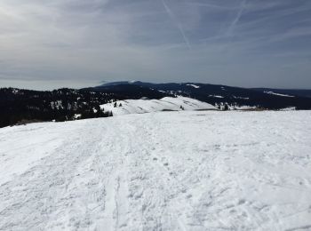
Raquetas de nieve
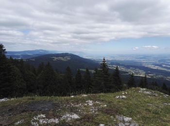
• A faire par beau temps. Vue superbe sur les Alpes le lac Léman les Monts Jura.
Senderismo
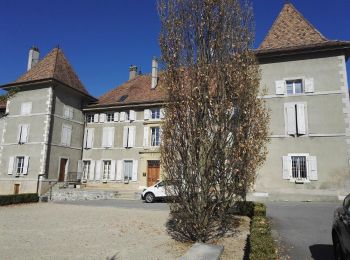
• Voyage d'Apples à l'Isle pendant que Michèle négocie avec Baerfuss !!
Senderismo
Bicicleta híbrida

Bici de montaña
Raquetas de nieve
Senderismo
•
Senderismo
Senderismo
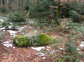
• L'arboretum du Vallon de l'Aubonne (VD-suisse) au début du printemps.
Senderismo

Otra actividad
• Facile et souvent degage
Senderismo
• Bord du lac Leman : Morges Préverenges / Venoge jusqu'à Bussigny / Champs et vignes jusqu'à Bremblens et Morges
Senderismo
• Ballade
Senderismo
•

Caballo
20 excursiones mostradas en 85
Aplicación GPS de excursión GRATIS
 SityTrail
IGN / Institutos geográficos
SityTrail World
El mundo es suyo