


12,6 km | 14,3 km-effort
Tongeren: Descubra las mejores excursiones: 148 a pie y 12 en bici o bici de montaña. Todos estos circuitos, recorridos, itinerarios y actividades al aire libre están disponibles en nuestras aplicaciones SityTrail para smartphone y tablet.

Senderismo


Senderismo
Senderismo
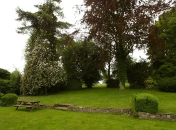
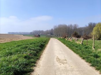
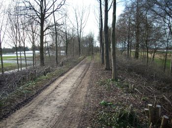
A pie
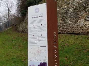
• Trail created by Stad Tongeren. Symbol: triangle
A pie
• Trail created by Stad Tongeren. Symbol: triangle
A pie
• Trail created by Stad Tongeren. Symbol: triangle
A pie
• Trail created by Stad Tongeren. Symbol: triangle
A pie
• Trail created by Stad Tongeren. Symbol: triangle
A pie
• Trail created by Stad Tongeren. Symbol: triangle
A pie
• Trail created by Stad Tongeren. Symbol: triangle
A pie
• Trail created by Stad Tongeren.
A pie
• Trail created by Stad Tongeren.
A pie
• Trail created by Stad Tongeren.
A pie
• Trail created by Regionaal Landschap Haspengouw en Voeren. Symbol: arrow
A pie
• Trail created by Regionaal Landschap Haspengouw en Voeren. Symbol: arrow
A pie
• Symbol: aardgas
A pie
• Trail created by Regionaal Landschap Haspengouw en Voeren. Symbol: arrow
A pie
• Trail created by Natuurpunt. Symbol: square
Senderismo

Motor
• More information on GPStracks.nl : http://www.gpstracks.nl
20 excursiones mostradas en 167
Aplicación GPS de excursión GRATIS
 SityTrail
IGN / Institutos geográficos
SityTrail World
El mundo es suyo