


25 km | 27 km-effort
Péruwelz: Descubra las mejores excursiones: 80 a pie, 12 en bici o bici de montaña y 3 recorridos ecuestres. Todos estos circuitos, recorridos, itinerarios y actividades al aire libre están disponibles en nuestras aplicaciones SityTrail para smartphone y tablet.

Senderismo


• Au départ de Bon-Secours cette randonnée rejoint Vieux-Condé par les monts de Péruwelz et Copiémont, Hergnies et l'ét...
Senderismo
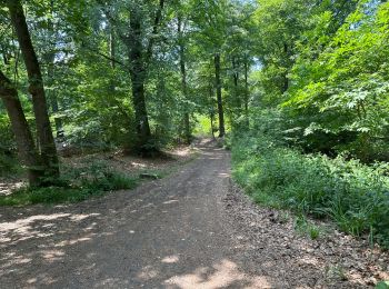
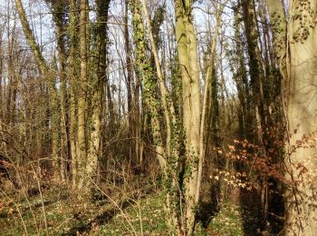
• Forêts Portion limite impraticable vu ronces orties épineux
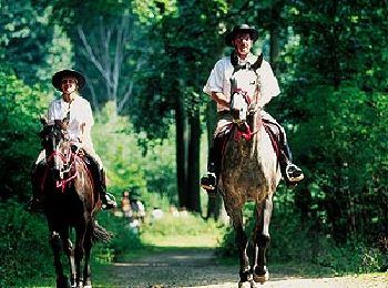
Caballo

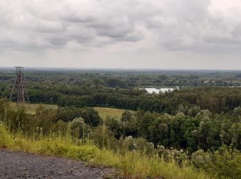
Bici de montaña

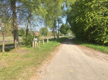
A pie

A pie
Senderismo
Senderismo
Senderismo
Senderismo
Bici de montaña
Senderismo
Senderismo
A pie
Senderismo
Senderismo

Senderismo

Senderismo
Senderismo
Senderismo
20 excursiones mostradas en 103
Aplicación GPS de excursión GRATIS
 SityTrail
IGN / Institutos geográficos
SityTrail World
El mundo es suyo