


4,1 km | 5,3 km-effort
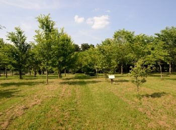
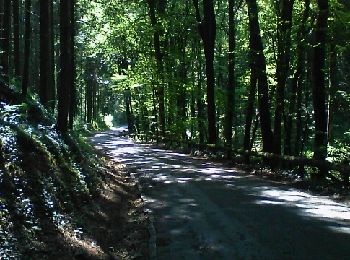
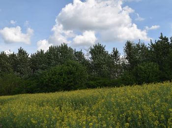
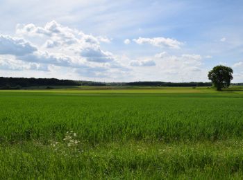
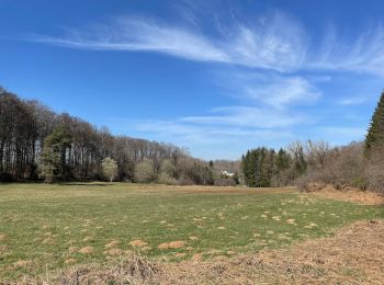
Arlon: Descubra las mejores excursiones: 175 a pie, 30 en bici o bici de montaña y 7 recorridos ecuestres. Todos estos circuitos, recorridos, itinerarios y actividades al aire libre están disponibles en nuestras aplicaciones SityTrail para smartphone y tablet.
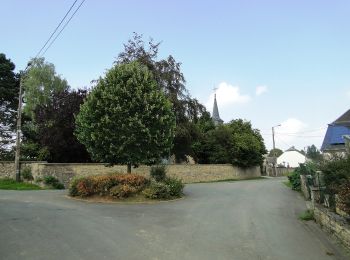
Senderismo


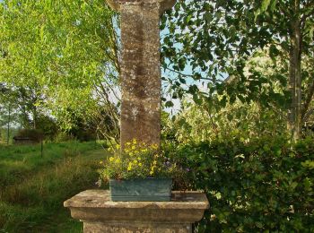
Senderismo
• Promenade facile très agréable
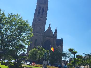
Senderismo

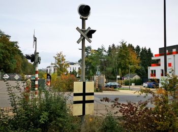
Senderismo
Senderismo
A pie
• Trail created by Maison du Tourisme du Pays d’Arlon et Royal Office du Tourisme d’Arlon. Symbol: red rectangle
A pie
• Trail created by Maison du Tourisme du Pays d'Arlon.
A pie
• Trail created by Maison du Tourisme du Pays d'Arlon.
A pie
• Trail created by Maison du Tourisme du Pays d'Arlon.
A pie
• Trail created by Maison du Tourisme du Pays d'Arlon.
A pie
• Trail created by Maison du Tourisme du Pays d’Arlon et Royal Office du Tourisme d’Arlon.
A pie
• Trail created by Maison du Tourisme du Pays d’Arlon et Royal Office du Tourisme d’Arlon.
Senderismo
Senderismo
A pie
A pie

A pie
A pie
A pie

A pie
20 excursiones mostradas en 221
 SityTrail