


7,8 km | 10,2 km-effort
Saint-Léger: Descubra las mejores excursiones: 70 a pie y 22 en bici o bici de montaña. Todos estos circuitos, recorridos, itinerarios y actividades al aire libre están disponibles en nuestras aplicaciones SityTrail para smartphone y tablet.
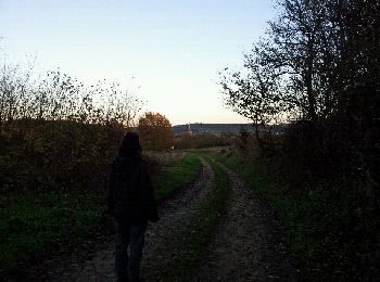
Senderismo


A pie
Senderismo
Senderismo
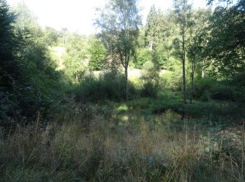
• Promenade n°6. En longeant le Gros ruisseau jusque Montauban.
Senderismo
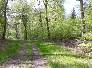
• Promenade n°1. A travers le village vers l'ermitage de Wachet
Senderismo
Senderismo
Bici de montaña
Senderismo
Bici de montaña
Bici de montaña
Senderismo
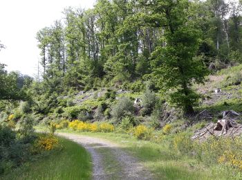
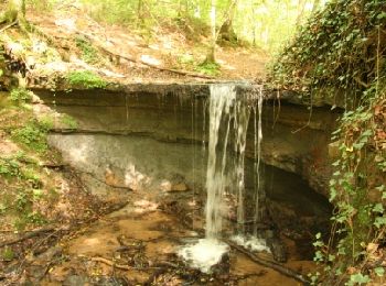
• Promenade n°4. A travers bois jusqu'au Trou du Pérou.

 11.191
sport
• Départ de l’église de saint léger Balise rectangle bleu n°4

Senderismo

Carrera
Carrera
Senderismo

Bici de montaña
Bici eléctrica
Carrera
20 excursiones mostradas en 103
Aplicación GPS de excursión GRATIS
 SityTrail
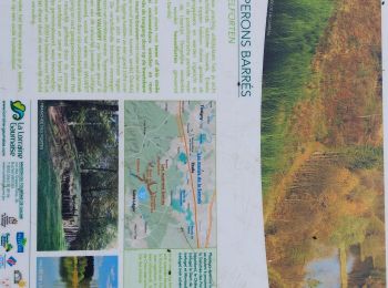
IGN / Institutos geográficos
SityTrail World
El mundo es suyo