


16,1 km | 19,5 km-effort
Sankt Vith: Descubra las mejores excursiones: 91 a pie y 45 en bici o bici de montaña. Todos estos circuitos, recorridos, itinerarios y actividades al aire libre están disponibles en nuestras aplicaciones SityTrail para smartphone y tablet.
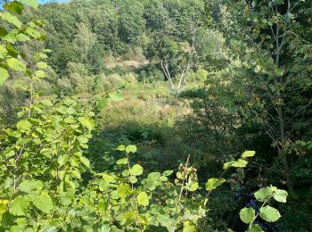
Senderismo


Senderismo
Senderismo
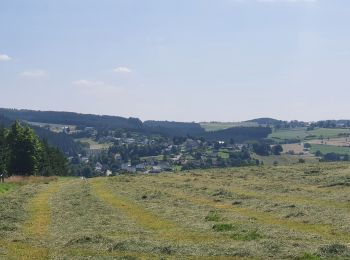
• Dans le décor quasi-alpestre de la vallée de l’Our et de la région des Trois Frontières Neidingen – Lommersweiler – ...
Senderismo
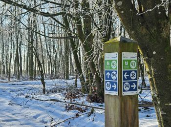
• Neidingen – Lommersweiler – Hemmeres – Auel – Maspelt – Neidingen Cartographie et documentation Carte IGN au 1 : ...
Senderismo
Senderismo
Senderismo
• Dimanche 4 septembre 2022 Dans le cadre d'un "cousinage", petite balade apéritive dans les bois à proximité du Biermu...
Senderismo
Senderismo
Senderismo
Senderismo
Senderismo
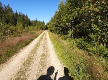
Bici eléctrica
Senderismo
Senderismo
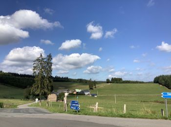
A pie
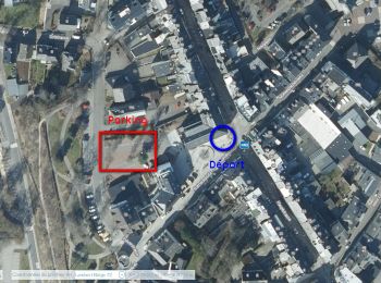
• Symbol: rectangle
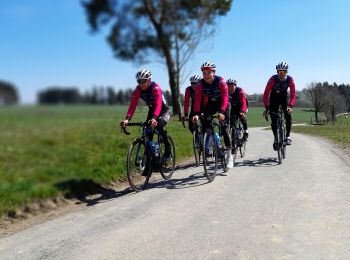
Bici de carretera
Senderismo
Senderismo
Senderismo
20 excursiones mostradas en 138
Aplicación GPS de excursión GRATIS
 SityTrail
IGN / Institutos geográficos
SityTrail World
El mundo es suyo