


8,4 km | 10,8 km-effort
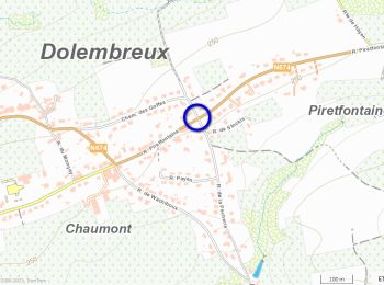
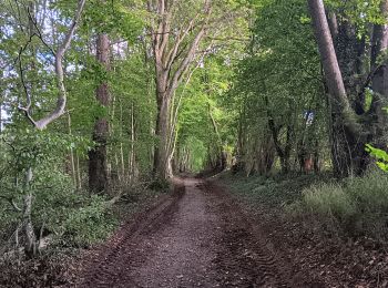
Dolembreux: Descubra las mejores excursiones: 57 a pie, 11 en bici o bici de montaña y 1 recorridos ecuestres. Todos estos circuitos, recorridos, itinerarios y actividades al aire libre están disponibles en nuestras aplicaciones SityTrail para smartphone y tablet.
Senderismo


Senderismo
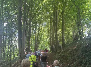
• Esneux Adeps 2011 - 20 km
Senderismo
Senderismo
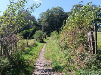
A pie
• Trail created by Office du Tourisme de Sprimont-Banneux.
Senderismo
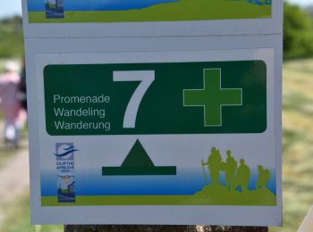
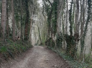
• Circuit n° 7 de la commune de Sprimont, balisé croix verte sur font blanc. Départ rue de la Pêcherie, 2. B-4140 Dole...
Senderismo
 7.846
7.846
sport
Senderismo
Senderismo
A pie
Bici eléctrica
Senderismo

Bici de montaña
Senderismo
Senderismo
Bici eléctrica
Bici de montaña

A pie
Marcha nórdica
20 excursiones mostradas en 71
Aplicación GPS de excursión GRATIS
 SityTrail
IGN / Institutos geográficos
SityTrail World
El mundo es suyo