


6,5 km | 8,1 km-effort
Rouvreux: Descubra las mejores excursiones: 20 a pie y 12 en bici o bici de montaña. Todos estos circuitos, recorridos, itinerarios y actividades al aire libre están disponibles en nuestras aplicaciones SityTrail para smartphone y tablet.
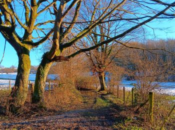
Senderismo


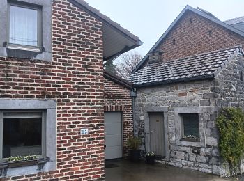
Senderismo
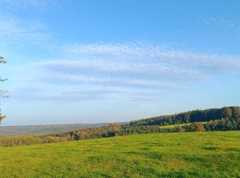
Senderismo
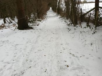
Senderismo

Marcha nórdica

 38.476
sport
• depart: Place Joseph Wauters 4140 Sprimont

Bici eléctrica
Bici de montaña
Bici de montaña

Senderismo
Bici de montaña
Senderismo

Ruta
Marcha nórdica
• 1h
Marcha nórdica
• Bois chemin et route
Marcha nórdica
• 1h
Marcha nórdica
• Bois chemin et route
Otra actividad
• Petite balade
Senderismo
• GR 575-576 : A travers le Condroz
Senderismo
20 excursiones mostradas en 34
Aplicación GPS de excursión GRATIS
 SityTrail
IGN / Institutos geográficos
SityTrail World
El mundo es suyo