


23 km | 32 km-effort
Sprimont: Descubra las mejores excursiones: 101 a pie y 20 en bici o bici de montaña. Todos estos circuitos, recorridos, itinerarios y actividades al aire libre están disponibles en nuestras aplicaciones SityTrail para smartphone y tablet.
Senderismo


Senderismo
Senderismo
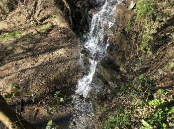
A pie
• Trail created by Office du Tourisme de Sprimont-Banneux.
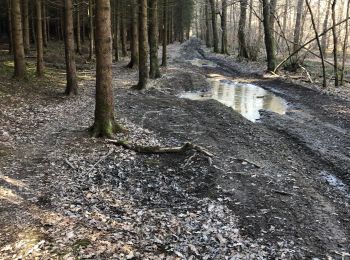
A pie
• Trail created by Office du Tourisme de Sprimont-Banneux.

Senderismo
Senderismo

Otra actividad
• Randonnée VTT Sprimont 2012 - 26 km

Senderismo
• GR 57 : Vallée de l'Ourthe.
Senderismo
Senderismo
A pie
Senderismo

A pie
• Trail created by Office du Tourisme de Sprimont-Banneux.

A pie
A pie
Marcha nórdica
Senderismo
Senderismo
Senderismo
20 excursiones mostradas en 128
Aplicación GPS de excursión GRATIS
 SityTrail
IGN / Institutos geográficos
SityTrail World
El mundo es suyo