![](/images/other/stat-length.png)
- Excursiones
- Outdoor
- Austria
- Alta Austria
- Bezirk Freistadt
Bezirk Freistadt, Alta Austria: Los mejores itinerarios de excursión, recorridos, paseos y sendas
Bezirk Freistadt: Descubra las mejores excursiones: 40 a pie. Todos estos circuitos, recorridos, itinerarios y actividades al aire libre están disponibles en nuestras aplicaciones SityTrail para smartphone y tablet.
Los mejores recorridos (40)
![Excursión A pie Lasberg - Mühlenweg - Photo](https://media.geolcdn.com/t/350/260/e818d116-b894-461c-8ced-d07ee935fca6.jpeg&format=jpg&maxdim=2)
![A pie A pie](https://static1.geolcdn.com/sitytour/trail-icons/100.png)
Km
A pie
![](/images/other/stat-length.png)
![](https://static1.geolcdn.com/siteimages/upload/files/1508320355ic_sort_den_pos_24dp.png)
![](https://static1.geolcdn.com/siteimages/upload/files/1508320355ic_sort_den_neg_24dp.png)
![](https://static1.geolcdn.com/siteimages/upload/files/16400158638029165_repeat_loop_refresh_sync_direction_icon.png)
• Trail created by Lasberg Tourismus. Symbol: weißer Text La6 auf rotem Grund
![Excursión A pie Freistadt - Planetenwanderweg - Photo](https://media.geolcdn.com/t/350/260/6e085a65-c0c5-42fb-b94e-dc71481b28dd.jpeg&format=jpg&maxdim=2)
![A pie A pie](https://static1.geolcdn.com/sitytour/trail-icons/100.png)
Km
A pie
![](/images/other/stat-length.png)
![](https://static1.geolcdn.com/siteimages/upload/files/1508320355ic_sort_den_pos_24dp.png)
![](https://static1.geolcdn.com/siteimages/upload/files/1508320355ic_sort_den_neg_24dp.png)
![](https://static1.geolcdn.com/siteimages/upload/files/16400158638029165_repeat_loop_refresh_sync_direction_icon.png)
• Trail created by Touristik Mühlviertler Kernland.
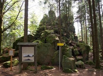
![Excursión A pie Sankt Oswald bei Freistadt - Panoramaweg - Mitterbach - Photo](https://media.geolcdn.com/t/350/260/d7243e97-9a42-45d3-9620-9027b8a406e1.jpeg&format=jpg&maxdim=2)
![A pie A pie](https://static1.geolcdn.com/sitytour/trail-icons/100.png)
Km
A pie
![](/images/other/stat-length.png)
![](https://static1.geolcdn.com/siteimages/upload/files/1508320355ic_sort_den_pos_24dp.png)
![](https://static1.geolcdn.com/siteimages/upload/files/1508320355ic_sort_den_neg_24dp.png)
![](https://static1.geolcdn.com/siteimages/upload/files/16400158638029165_repeat_loop_refresh_sync_direction_icon.png)
• Trail created by Mühlviertler Kernland. Symbol: Schilder mit Symbol Panorama & G4
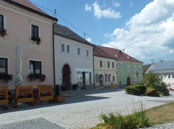
![Excursión A pie Leopoldschlag - Töpferweg - Photo](https://media.geolcdn.com/t/350/260/49a726b7-87f3-4c44-a0c8-d13123f1a830.jpeg&format=jpg&maxdim=2)
![A pie A pie](https://static1.geolcdn.com/sitytour/trail-icons/100.png)
Km
A pie
![](/images/other/stat-length.png)
![](https://static1.geolcdn.com/siteimages/upload/files/1508320355ic_sort_den_pos_24dp.png)
![](https://static1.geolcdn.com/siteimages/upload/files/1508320355ic_sort_den_neg_24dp.png)
![](https://static1.geolcdn.com/siteimages/upload/files/16400158638029165_repeat_loop_refresh_sync_direction_icon.png)
• Trail created by Tourismusverband Leopoldschlag.
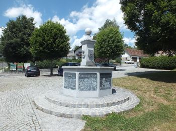
![Excursión A pie Grünbach - Senderweg - Photo](https://media.geolcdn.com/t/350/260/69351793-753e-4574-9bc6-020732bbcedf.jpeg&format=jpg&maxdim=2)
![A pie A pie](https://static1.geolcdn.com/sitytour/trail-icons/100.png)
Km
A pie
![](/images/other/stat-length.png)
![](https://static1.geolcdn.com/siteimages/upload/files/1508320355ic_sort_den_pos_24dp.png)
![](https://static1.geolcdn.com/siteimages/upload/files/1508320355ic_sort_den_neg_24dp.png)
![](https://static1.geolcdn.com/siteimages/upload/files/16400158638029165_repeat_loop_refresh_sync_direction_icon.png)
• Trail created by Tourismusverband Grünbach.
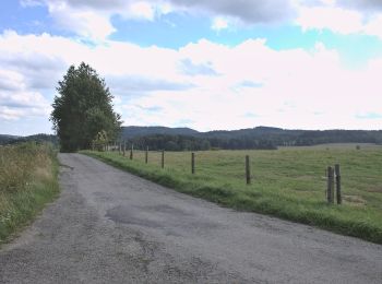
![Excursión A pie Leopoldschlag - Nordwaldkammweg Verbindungsweg V10 - Photo](https://media.geolcdn.com/t/350/260/57be3e2b-05a1-4076-9da6-345459688a8c.jpeg&format=jpg&maxdim=2)
![A pie A pie](https://static1.geolcdn.com/sitytour/trail-icons/100.png)
Km
A pie
![](/images/other/stat-length.png)
![](https://static1.geolcdn.com/siteimages/upload/files/1508320355ic_sort_den_pos_24dp.png)
![](https://static1.geolcdn.com/siteimages/upload/files/1508320355ic_sort_den_neg_24dp.png)
![](https://static1.geolcdn.com/siteimages/upload/files/16400158638029165_repeat_loop_refresh_sync_direction_icon.png)
• Trail created by Alpenverein.
![Excursión A pie Windhaag bei Freistadt - Plochwaldrundweg - Photo](https://media.geolcdn.com/t/350/260/c6d6ddce-049b-4013-b79d-b40167fc215c.jpeg&format=jpg&maxdim=2)
![A pie A pie](https://static1.geolcdn.com/sitytour/trail-icons/100.png)
Km
A pie
![](/images/other/stat-length.png)
![](https://static1.geolcdn.com/siteimages/upload/files/1508320355ic_sort_den_pos_24dp.png)
![](https://static1.geolcdn.com/siteimages/upload/files/1508320355ic_sort_den_neg_24dp.png)
![](https://static1.geolcdn.com/siteimages/upload/files/16400158638029165_repeat_loop_refresh_sync_direction_icon.png)
• Trail created by Tourismuskern Windhaag b. Freistadt.
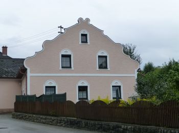
![Excursión A pie Windhaag bei Freistadt - Steinerlebnisweg - Photo](https://media.geolcdn.com/t/350/260/c6d6ddce-049b-4013-b79d-b40167fc215c.jpeg&format=jpg&maxdim=2)
![A pie A pie](https://static1.geolcdn.com/sitytour/trail-icons/100.png)
Km
A pie
![](/images/other/stat-length.png)
![](https://static1.geolcdn.com/siteimages/upload/files/1508320355ic_sort_den_pos_24dp.png)
![](https://static1.geolcdn.com/siteimages/upload/files/1508320355ic_sort_den_neg_24dp.png)
![](https://static1.geolcdn.com/siteimages/upload/files/16400158638029165_repeat_loop_refresh_sync_direction_icon.png)
• Trail created by Tourismuskern Windhaag b. Freistadt.
![Excursión A pie Windhaag bei Freistadt - Grenzlandweg - Photo](https://media.geolcdn.com/t/350/260/c6d6ddce-049b-4013-b79d-b40167fc215c.jpeg&format=jpg&maxdim=2)
![A pie A pie](https://static1.geolcdn.com/sitytour/trail-icons/100.png)
Km
A pie
![](/images/other/stat-length.png)
![](https://static1.geolcdn.com/siteimages/upload/files/1508320355ic_sort_den_pos_24dp.png)
![](https://static1.geolcdn.com/siteimages/upload/files/1508320355ic_sort_den_neg_24dp.png)
![](https://static1.geolcdn.com/siteimages/upload/files/16400158638029165_repeat_loop_refresh_sync_direction_icon.png)
• Trail created by Tourismuskern Windhaag b. Freistadt.
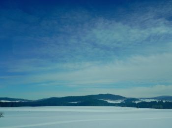
![Excursión A pie Rainbach im Mühlkreis - Weg der Farben - Photo](https://media.geolcdn.com/t/350/260/668734bc-f752-42ca-b920-7926c11738e2.jpeg&format=jpg&maxdim=2)
![A pie A pie](https://static1.geolcdn.com/sitytour/trail-icons/100.png)
Km
A pie
![](/images/other/stat-length.png)
![](https://static1.geolcdn.com/siteimages/upload/files/1508320355ic_sort_den_pos_24dp.png)
![](https://static1.geolcdn.com/siteimages/upload/files/1508320355ic_sort_den_neg_24dp.png)
![](https://static1.geolcdn.com/siteimages/upload/files/16400158638029165_repeat_loop_refresh_sync_direction_icon.png)
• Trail created by Tourismuskern Rainbach.
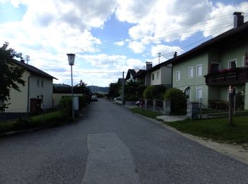
![Excursión A pie Freistadt - Mittelalterlicher Erlebnispfad - Photo](https://media.geolcdn.com/t/350/260/5679c0c0-a572-4b08-80c8-3d20cf7df9d8.jpeg&format=jpg&maxdim=2)
![A pie A pie](https://static1.geolcdn.com/sitytour/trail-icons/100.png)
Km
A pie
![](/images/other/stat-length.png)
![](https://static1.geolcdn.com/siteimages/upload/files/1508320355ic_sort_den_pos_24dp.png)
![](https://static1.geolcdn.com/siteimages/upload/files/1508320355ic_sort_den_neg_24dp.png)
![](https://static1.geolcdn.com/siteimages/upload/files/16400158638029165_repeat_loop_refresh_sync_direction_icon.png)
• Trail created by Tourismusverband Mühlviertler Kernland.
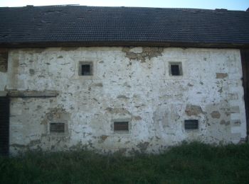
![Excursión A pie Neumarkt im Mühlkreis - Kefermarkt-Rundweg - Photo](https://media.geolcdn.com/t/350/260/bea5ee9e-5fa4-4a81-a978-6d081e7ddbe4.jpeg&format=jpg&maxdim=2)
![A pie A pie](https://static1.geolcdn.com/sitytour/trail-icons/100.png)
Km
A pie
![](/images/other/stat-length.png)
![](https://static1.geolcdn.com/siteimages/upload/files/1508320355ic_sort_den_pos_24dp.png)
![](https://static1.geolcdn.com/siteimages/upload/files/1508320355ic_sort_den_neg_24dp.png)
![](https://static1.geolcdn.com/siteimages/upload/files/16400158638029165_repeat_loop_refresh_sync_direction_icon.png)
• Trail created by Gemeinde Neumarkt. Symbol: gelber Hinweispfeil mit schwarzem Text "N6" manchmal mit Hinweis auf näc...
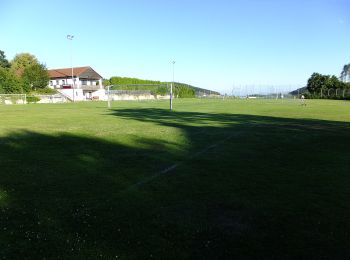
![Excursión A pie Neumarkt im Mühlkreis - Burgstall-Rundweg - Photo](https://media.geolcdn.com/t/350/260/7661415f-b1a1-4997-b3f4-700045b6b36f.jpeg&format=jpg&maxdim=2)
![A pie A pie](https://static1.geolcdn.com/sitytour/trail-icons/100.png)
Km
A pie
![](/images/other/stat-length.png)
![](https://static1.geolcdn.com/siteimages/upload/files/1508320355ic_sort_den_pos_24dp.png)
![](https://static1.geolcdn.com/siteimages/upload/files/1508320355ic_sort_den_neg_24dp.png)
![](https://static1.geolcdn.com/siteimages/upload/files/16400158638029165_repeat_loop_refresh_sync_direction_icon.png)
• Trail created by Gemeinde Neumarkt. Symbol: gelber Hinweispfeil mit schwarzem Text "N4" manchmal mit Hinweis au näch...
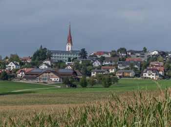
![Excursión A pie Neumarkt im Mühlkreis - Kempfendorer Berg Rundwanderweg - Photo](https://media.geolcdn.com/t/350/260/0985909d-a2d4-474b-a240-b44f10724cbc.jpeg&format=jpg&maxdim=2)
![A pie A pie](https://static1.geolcdn.com/sitytour/trail-icons/100.png)
Km
A pie
![](/images/other/stat-length.png)
![](https://static1.geolcdn.com/siteimages/upload/files/1508320355ic_sort_den_pos_24dp.png)
![](https://static1.geolcdn.com/siteimages/upload/files/1508320355ic_sort_den_neg_24dp.png)
![](https://static1.geolcdn.com/siteimages/upload/files/16400158638029165_repeat_loop_refresh_sync_direction_icon.png)
• Trail created by Gemeinde Neumarkt. Symbol: gelber Hinweispfeil mit schwarzem Text "N2" manchmal mit Hinweis au näch...
![Excursión A pie Hagenberg im Mühlkreis - Kempfenberg-Rundweg (50) - Photo](https://media.geolcdn.com/t/350/260/78d5ce51-2697-46df-a805-73ea8d20fc80.jpeg&format=jpg&maxdim=2)
![A pie A pie](https://static1.geolcdn.com/sitytour/trail-icons/100.png)
Km
A pie
![](/images/other/stat-length.png)
![](https://static1.geolcdn.com/siteimages/upload/files/1508320355ic_sort_den_pos_24dp.png)
![](https://static1.geolcdn.com/siteimages/upload/files/1508320355ic_sort_den_neg_24dp.png)
![](https://static1.geolcdn.com/siteimages/upload/files/16400158638029165_repeat_loop_refresh_sync_direction_icon.png)
• Symbol: rot-weiss-rot 50
![Excursión A pie Pregarten - PWHa2 - Photo](https://media.geolcdn.com/t/350/260/1a5e7826-5ca8-475a-a075-6488d216e8f0.jpeg&format=jpg&maxdim=2)
![A pie A pie](https://static1.geolcdn.com/sitytour/trail-icons/100.png)
Km
A pie
![](/images/other/stat-length.png)
![](https://static1.geolcdn.com/siteimages/upload/files/1508320355ic_sort_den_pos_24dp.png)
![](https://static1.geolcdn.com/siteimages/upload/files/1508320355ic_sort_den_neg_24dp.png)
![](https://static1.geolcdn.com/siteimages/upload/files/16400158638029165_repeat_loop_refresh_sync_direction_icon.png)
• Symbol: weißer Text PWHa2 auf rotem Richtungspfeil
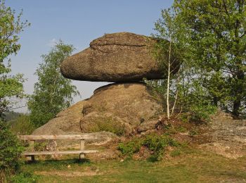
![Excursión A pie Tragwein - Mühlviertler Quell-Wanderweg - Photo](https://media.geolcdn.com/t/350/260/139bc6bd-a44f-45be-92c4-29ddedc5e2e0.jpeg&format=jpg&maxdim=2)
![A pie A pie](https://static1.geolcdn.com/sitytour/trail-icons/100.png)
Km
A pie
![](/images/other/stat-length.png)
![](https://static1.geolcdn.com/siteimages/upload/files/1508320355ic_sort_den_pos_24dp.png)
![](https://static1.geolcdn.com/siteimages/upload/files/1508320355ic_sort_den_neg_24dp.png)
![](https://static1.geolcdn.com/siteimages/upload/files/16400158638029165_repeat_loop_refresh_sync_direction_icon.png)
• Symbol: weiße Tafel mit blau-grünem Q und in schwarz der Text Mühlviertler Quell-Wanderweg
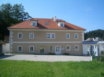
![Excursión A pie Pierbach - Zweibergweg - Photo](https://media.geolcdn.com/t/350/260/f1127007-b968-4f59-8462-a2230ad7a38e.jpeg&format=jpg&maxdim=2)
![A pie A pie](https://static1.geolcdn.com/sitytour/trail-icons/100.png)
Km
A pie
![](/images/other/stat-length.png)
![](https://static1.geolcdn.com/siteimages/upload/files/1508320355ic_sort_den_pos_24dp.png)
![](https://static1.geolcdn.com/siteimages/upload/files/1508320355ic_sort_den_neg_24dp.png)
![](https://static1.geolcdn.com/siteimages/upload/files/16400158638029165_repeat_loop_refresh_sync_direction_icon.png)
• Symbol: rot weiß rot mit schwarzer Ziffer 91
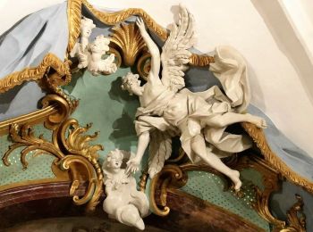
![Excursión A pie Bad Zell - Bad Zell - Ruttenstein - Photo](https://media.geolcdn.com/t/350/260/be081fd9-5215-4136-84de-e21b65b5a21b.jpeg&format=jpg&maxdim=2)
![A pie A pie](https://static1.geolcdn.com/sitytour/trail-icons/100.png)
Km
A pie
![](/images/other/stat-length.png)
![](https://static1.geolcdn.com/siteimages/upload/files/1508320355ic_sort_den_pos_24dp.png)
![](https://static1.geolcdn.com/siteimages/upload/files/1508320355ic_sort_den_neg_24dp.png)
![](https://static1.geolcdn.com/siteimages/upload/files/16400158638029165_repeat_loop_refresh_sync_direction_icon.png)
• Symbol: oben rot unten weiß
![Excursión A pie Pierbach - Zweiflüsseweg - Photo](https://media.geolcdn.com/t/350/260/365308ff-4947-4096-8f30-d2e0b75491a4.jpeg&format=jpg&maxdim=2)
![A pie A pie](https://static1.geolcdn.com/sitytour/trail-icons/100.png)
Km
A pie
![](/images/other/stat-length.png)
![](https://static1.geolcdn.com/siteimages/upload/files/1508320355ic_sort_den_pos_24dp.png)
![](https://static1.geolcdn.com/siteimages/upload/files/1508320355ic_sort_den_neg_24dp.png)
![](https://static1.geolcdn.com/siteimages/upload/files/16400158638029165_repeat_loop_refresh_sync_direction_icon.png)
• Symbol: rot weiß rot mit schwarzer Ziffer 92
20 excursiones mostradas en 40
Aplicación GPS de excursión GRATIS