


4,4 km | 5,2 km-effort
Haibach ob der Donau: Descubra las mejores excursiones: 7 a pie. Todos estos circuitos, recorridos, itinerarios y actividades al aire libre están disponibles en nuestras aplicaciones SityTrail para smartphone y tablet.
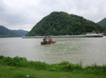
A pie


• Symbol: none
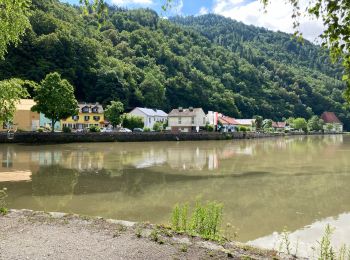
A pie
• Symbol: none

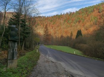
A pie
• Symbol: none
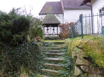
A pie
• Symbol: none
A pie
• Symbol: rot und weiss waagerecht
A pie
A pie
7 excursiones mostradas en 7
Aplicación GPS de excursión GRATIS
 SityTrail
IGN / Institutos geográficos
SityTrail World
El mundo es suyo