


7,4 km | 12 km-effort
Steyregg: Descubra las mejores excursiones: 8 a pie. Todos estos circuitos, recorridos, itinerarios y actividades al aire libre están disponibles en nuestras aplicaciones SityTrail para smartphone y tablet.
A pie


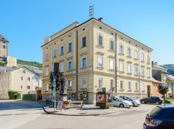
• Trail created by Stadtgemeinde Steyregg. Symbol: rot-weiss-rot
A pie
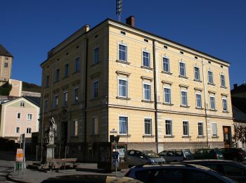
• Trail created by Stadtgemeinde Steyregg. Symbol: rot-weiss-rot
A pie
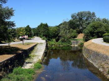
• Täglich gehen wir Wege und Straßen, jahrein, jahraus. Wir laden Sie ein, in Steyregg den Weg zu gehen, Ruhe zu finden...
A pie
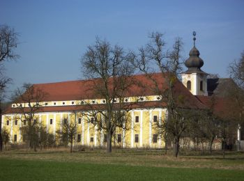
• Trail created by Alpenverein TK Linz. Symbol: rot-weiss-rot 50
A pie
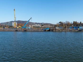
• Symbol: Drei horizontale Streifen in den Farben grün (oben), weiß und blau (unten)
A pie
• Symbol: white red
A pie
• Symbol: white red
A pie
8 excursiones mostradas en 8
Aplicación GPS de excursión GRATIS
 SityTrail
IGN / Institutos geográficos
SityTrail World
El mundo es suyo