


9,5 km | 12,8 km-effort
Bezirk Südoststeiermark: Descubra las mejores excursiones: 48 a pie. Todos estos circuitos, recorridos, itinerarios y actividades al aire libre están disponibles en nuestras aplicaciones SityTrail para smartphone y tablet.
A pie


• Trail created by Vulkanland.at.
A pie
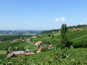
• Trail created by Vulkanland. Symbol: Gelbe Pfeile mit Aufschrift 3-Vulkane-Weg
A pie
• Trail created by Verein zur Förderung des Steirischen Vulkanlands.
A pie
• Trail created by Verein zur Förderung des Steirischen Vulkanlands.
A pie
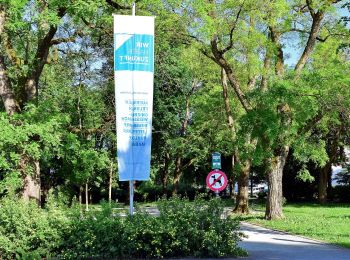
• Breite Bürgerbeteiligung und ein von Konsens getragenes Mitgestalten zeichnen die von Vulkanen geformte Region Steiri...
A pie
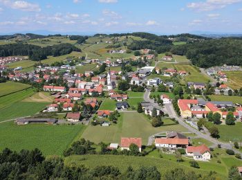
• Trail created by Tourismusverband Tieschen.
A pie
• Trail created by Tourismusverband Tieschen.
A pie
• Trail created by Vulkanland. Symbol: Gelbe Pfeile mit Aufschrift Rückgrat
A pie
• Trail created by Tourismusverband Tieschen.
A pie
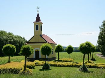
• Trail created by Fremdenverkehrsverband St. Stefan im Rosental.
A pie
• Trail created by Fremdenverkehrsverband St. Stefan im Rosental.
A pie
• Trail created by Fremdenverkehrsverband St. Stefan im Rosental.
A pie
• Trail created by Fremdenverkehrsverband St. Stefan im Rosental.
A pie
• Trail created by Fremdenverkehrsverband St. Stefan im Rosental.
A pie
• Trail created by Fremdenverkehrsverband St. Stefan im Rosental.
A pie
• Trail created by Fremdenverkehrsverband St. Stefan im Rosental.
A pie
• Trail created by Fremdenverkehrsverband St. Stefan im Rosental.
A pie
• Trail created by Fremdenverkehrsverband St. Stefan im Rosental.
A pie
• Trail created by Fremdenverkehrsverband St. Stefan im Rosental.
A pie
• Trail created by Fremdenverkehrsverband St. Stefan im Rosental.
20 excursiones mostradas en 48
Aplicación GPS de excursión GRATIS
 SityTrail
IGN / Institutos geográficos
SityTrail World
El mundo es suyo