![](/images/other/stat-length.png)
- Excursiones
- Outdoor
- Austria
- Estiria
- Bezirk Bruck-Mürzzuschlag
- Gemeinde Neuberg an der Mürz
Gemeinde Neuberg an der Mürz, Bezirk Bruck-Mürzzuschlag: Los mejores itinerarios de excursión, recorridos, paseos y sendas
Gemeinde Neuberg an der Mürz: Descubra las mejores excursiones: 6 a pie. Todos estos circuitos, recorridos, itinerarios y actividades al aire libre están disponibles en nuestras aplicaciones SityTrail para smartphone y tablet.
Los mejores recorridos (6)
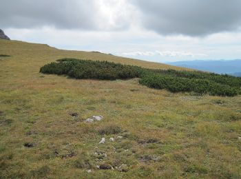
![Excursión A pie Gemeinde Neuberg an der Mürz - Wanderweg 824b: Ochsenhaltweg - Photo](https://media.geolcdn.com/t/350/260/9f5f3bea-2df0-4520-8ac2-6c624cee4450.jpeg&format=jpg&maxdim=2)
![A pie A pie](https://static1.geolcdn.com/sitytour/trail-icons/100.png)
Km
A pie
![](/images/other/stat-length.png)
![](https://static1.geolcdn.com/siteimages/upload/files/1508320355ic_sort_den_pos_24dp.png)
![](https://static1.geolcdn.com/siteimages/upload/files/1508320355ic_sort_den_neg_24dp.png)
![](https://static1.geolcdn.com/siteimages/upload/files/16400158638029165_repeat_loop_refresh_sync_direction_icon.png)
• Trail created by Alpine Gesellschaft Reißtaler.
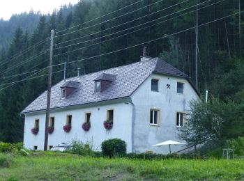
![Excursión A pie Gemeinde Neuberg an der Mürz - Wanderweg 442 - Photo](https://media.geolcdn.com/t/350/260/e20a7124-9ae4-45d3-9c07-29f824897014.jpeg&format=jpg&maxdim=2)
![A pie A pie](https://static1.geolcdn.com/sitytour/trail-icons/100.png)
Km
A pie
![](/images/other/stat-length.png)
![](https://static1.geolcdn.com/siteimages/upload/files/1508320355ic_sort_den_pos_24dp.png)
![](https://static1.geolcdn.com/siteimages/upload/files/1508320355ic_sort_den_neg_24dp.png)
![](https://static1.geolcdn.com/siteimages/upload/files/16400158638029165_repeat_loop_refresh_sync_direction_icon.png)
• Trail created by Österreichischer Gebirgsverein.
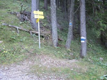
![Excursión A pie Gemeinde Neuberg an der Mürz - Schutzsteig - Photo](https://media.geolcdn.com/t/350/260/5836395b-5cbc-4721-abf5-8cb43e2d7a1d.jpeg&format=jpg&maxdim=2)
![A pie A pie](https://static1.geolcdn.com/sitytour/trail-icons/100.png)
Km
A pie
![](/images/other/stat-length.png)
![](https://static1.geolcdn.com/siteimages/upload/files/1508320355ic_sort_den_pos_24dp.png)
![](https://static1.geolcdn.com/siteimages/upload/files/1508320355ic_sort_den_neg_24dp.png)
![](https://static1.geolcdn.com/siteimages/upload/files/16400158638029165_repeat_loop_refresh_sync_direction_icon.png)
• Trail created by Alpine Gesellschaft Reißtaler. http://wiki.openstreetmap.org/wiki/WikiProject_Austria/Wanderwege S...
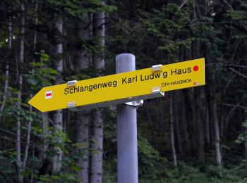
![Excursión A pie Gemeinde Neuberg an der Mürz - Wanderweg 829: Preiner Gscheid - Schlangenweg - Karl Ludwig Haus - Photo](https://media.geolcdn.com/t/350/260/f03803fb-4f51-459e-868c-c1493e0da3a7.jpeg&format=jpg&maxdim=2)
![A pie A pie](https://static1.geolcdn.com/sitytour/trail-icons/100.png)
Km
A pie
![](/images/other/stat-length.png)
![](https://static1.geolcdn.com/siteimages/upload/files/1508320355ic_sort_den_pos_24dp.png)
![](https://static1.geolcdn.com/siteimages/upload/files/1508320355ic_sort_den_neg_24dp.png)
![](https://static1.geolcdn.com/siteimages/upload/files/16400158638029165_repeat_loop_refresh_sync_direction_icon.png)
• Trail created by Österreichischer Touristenklub, Sektion Raxgmoa. Symbol: roter, waagrechter Balken
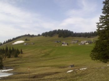
![Excursión A pie Gemeinde Neuberg an der Mürz - Scheiterboden-Hinteralm - Photo](https://media.geolcdn.com/t/350/260/e6a5d162-0f29-4d41-8fec-f42106d9214e.jpeg&format=jpg&maxdim=2)
![A pie A pie](https://static1.geolcdn.com/sitytour/trail-icons/100.png)
Km
A pie
![](/images/other/stat-length.png)
![](https://static1.geolcdn.com/siteimages/upload/files/1508320355ic_sort_den_pos_24dp.png)
![](https://static1.geolcdn.com/siteimages/upload/files/1508320355ic_sort_den_neg_24dp.png)
![](https://static1.geolcdn.com/siteimages/upload/files/16400158638029165_repeat_loop_refresh_sync_direction_icon.png)
• Trail created by ÖAV Sektion Edelweiß. Symbol: rot-weiß-rot
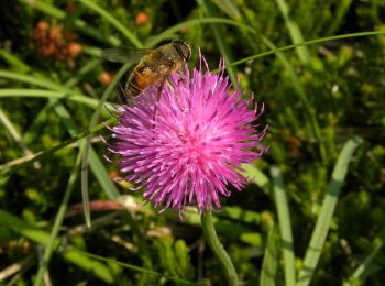
![Excursión A pie Gemeinde Neuberg an der Mürz - Prein (Jugendheim) - Oberer Eggl-Waxriegelhaus - Photo](https://media.geolcdn.com/t/350/260/add352eb-db94-4ac2-a56b-760f47bdc2fa.jpeg&format=jpg&maxdim=2)
![A pie A pie](https://static1.geolcdn.com/sitytour/trail-icons/100.png)
Km
A pie
![](/images/other/stat-length.png)
![](https://static1.geolcdn.com/siteimages/upload/files/1508320355ic_sort_den_pos_24dp.png)
![](https://static1.geolcdn.com/siteimages/upload/files/1508320355ic_sort_den_neg_24dp.png)
![](https://static1.geolcdn.com/siteimages/upload/files/16400158638029165_repeat_loop_refresh_sync_direction_icon.png)
• Trail created by Österreichischer Touristenklub, Sektion Höllentaler Holzknecht. Symbol: weiss rot weiss
6 excursiones mostradas en 6
Aplicación GPS de excursión GRATIS