


12 km | 13,9 km-effort
Gemeinde Großmugl: Descubra las mejores excursiones: 5 a pie. Todos estos circuitos, recorridos, itinerarios y actividades al aire libre están disponibles en nuestras aplicaciones SityTrail para smartphone y tablet.
A pie


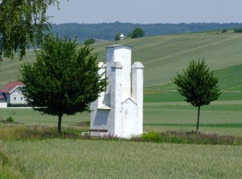
• Trail created by Marktgemeinde Großmugl. Symbol: weiß-blau-weiß waagrecht
A pie
• Trail created by Marktgemeinde Großmugl. Symbol: weiß-blau-weiß waagrecht
A pie
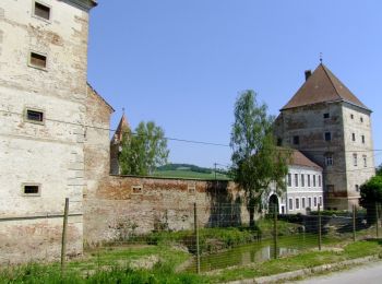
• Trail created by Marktgemeinde Großmugl. Symbol: weiß-gelb-weiß waagrecht
A pie
• Trail created by Marktgemeinde Großmugl. Symbol: weiß-grün-weiß waagrecht
A pie
• Trail created by Marktgemeinde Großmugl. Symbol: weiß-rot-weiß waagrecht
5 excursiones mostradas en 5
Aplicación GPS de excursión GRATIS
 SityTrail
IGN / Institutos geográficos
SityTrail World
El mundo es suyo