


9,3 km | 11,2 km-effort
Bezirk Bruck an der Leitha: Descubra las mejores excursiones: 24 a pie. Todos estos circuitos, recorridos, itinerarios y actividades al aire libre están disponibles en nuestras aplicaciones SityTrail para smartphone y tablet.
A pie


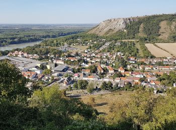
• Trail created by Via.Carnuntum.
A pie
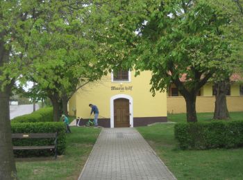
• Trail created by Tourismusverband Edelstal.
A pie
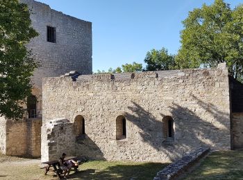
• Trail created by Via.Carnuntum.
A pie
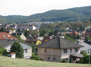
• Trail created by Runnersfun. Symbol: gelber Pfeil
A pie
• Symbol: rot-weiß-rot; Schriftzug "Durch die Wüste"
A pie
• Trail created by Runnersfun. Symbol: blauer Pfeil, L3
A pie
• Trail created by Runnersfun. Symbol: gelber Pfeil, L2
A pie
• Trail created by Gemeinde Berg. Symbol: weiss-grün-weiss
A pie
• Trail created by Gemeinde Berg. Symbol: weiss-blau-weiss
A pie
• Symbol: gelb
A pie
• Symbol: gruen
A pie
• Symbol: Gruen
A pie
• Trail created by Naturfreunde Österreich, Ortsgruppe Mannersdorf. Symbol: blau und gelb waagerecht
A pie
• Trail created by Naturfreunde Österreich, Ortsgruppe Mannersdorf. Symbol: weißer, waagerechter Balken auf rotem Grund
A pie
• Trail created by Naturfreunde Österreich, Ortsgruppe Mannersdorf. Symbol: weißer, waagerechter Balken auf rotem Grund
A pie
• Trail created by Naturfreunde Österreich, Ortsgruppe Mannersdorf. Symbol: weißer, waagerechter Balken auf rotem Grund
A pie
A pie
A pie
• Trail created by Tourismusverband Edelstal.
A pie
20 excursiones mostradas en 25
Aplicación GPS de excursión GRATIS
 SityTrail
IGN / Institutos geográficos
SityTrail World
El mundo es suyo