


5,2 km | 8,4 km-effort
Gemeinde Hinterbrühl: Descubra las mejores excursiones: 4 a pie. Todos estos circuitos, recorridos, itinerarios y actividades al aire libre están disponibles en nuestras aplicaciones SityTrail para smartphone y tablet.
A pie


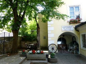
• Trail created by Verein der Naturfreunde in Mödling. Symbol: gelber, waagerechter Balken

A pie
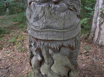
• Trail created by Organisation der Internationalen Wienerwald-Wanderung. Symbol: weißer, waagerechter Balken auf rote...
A pie
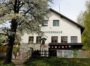
• Trail created by Runnersfun. Symbol: oranger Pfeil, M2
A pie
• Trail created by Verein der Naturfreunde in Mödling. Symbol: gelber, waagerechter Balken
4 excursiones mostradas en 4
Aplicación GPS de excursión GRATIS
 SityTrail
IGN / Institutos geográficos
SityTrail World
El mundo es suyo