


19,8 km | 30 km-effort
Chamonix-Mont-Blanc: Descubra las mejores excursiones: 1 patinaje, 1 vía ferrata y 2 escalada. Todos estos circuitos, recorridos, itinerarios y actividades al aire libre están disponibles en nuestras aplicaciones SityTrail para smartphone y tablet.

Otra actividad


• ski
Otra actividad
• Vero jef
Otra actividad
• escalade de neige
Otra actividad
• ski
Otra actividad
• Monte toutadroite
Escalada
Otra actividad
Otra actividad
Otra actividad
•
Otra actividad
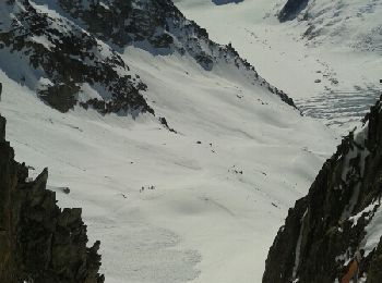
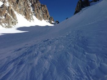
• ski de rando alpinisme
Otra actividad
• ski de rando Chamonix
Patinaje
• par les Gaillands,les pèlerins p
Otra actividad
• passage par la bergerie..route barrée..traversée de la colline..pour retrouver le sentier des Mottets...redescendre v...
Otra actividad
• Depart Grands Montets
Otra actividad
• Sympa beau regard sur le massif
Otra actividad
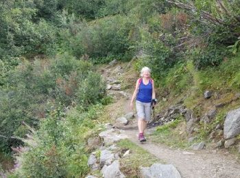
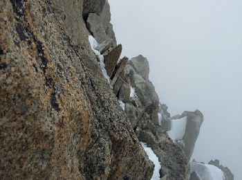
• Bien raide et technique et aérien en haut point de vue sur Chamonix superbe
Otra actividad
• Bien raide et technique et aérien en haut point de vue sur Chamonix superbe
Otra actividad
• Ski de rando !
Otra actividad
• ski rando
Otra actividad
• Erreur sur le calcul du dénivelé
20 excursiones mostradas en 83
Aplicación GPS de excursión GRATIS
 SityTrail
IGN / Institutos geográficos
SityTrail World
El mundo es suyo