


16,9 km | 18,9 km-effort
Provincia de Upsala: Descubra las mejores excursiones: 15 a pie y 1 senderismo. Todos estos circuitos, recorridos, itinerarios y actividades al aire libre están disponibles en nuestras aplicaciones SityTrail para smartphone y tablet.
A pie


• Marialeden är en 8 mil lång pilgrimsled mellan Tegelsmora och Gamla Uppsala. Sitio web: https://www.svenskakyrkan.s...
A pie
• En vandring där nutid möter forntid och stad möter land. Vandra mellan Uppsala domkyrka till den gamla domkyrkan i Ga...
A pie
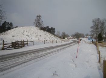
• Symbol: blue
A pie
• Symbol: yellow arrow
Senderismo
A pie
A pie
A pie
A pie

A pie
• Trail created by Bälinge hembygdsförening.
A pie
A pie
A pie
A pie
16 excursiones mostradas en 16
Aplicación GPS de excursión GRATIS
 SityTrail
IGN / Institutos geográficos
SityTrail World
El mundo es suyo