![](/images/other/stat-length.png)
- Excursiones
- A pie
- Portugal
- Centro
- Lisboa
Lisboa, Centro, A pie: Los mejores itinerarios de excursión, recorridos, paseos y sendas
Lisboa: Descubra las mejores excursiones: 12 a pie. Todos estos circuitos, recorridos, itinerarios y actividades al aire libre están disponibles en nuestras aplicaciones SityTrail para smartphone y tablet.
Los mejores recorridos (12)
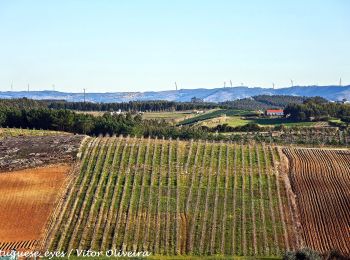
![Excursión A pie A dos Cunhados e Maceira - Pelos Caminhos da Batalha do Vimeiro - Photo](https://media.geolcdn.com/t/350/260/152a277d-7cdc-4c59-9d15-852398903aee.jpeg&format=jpg&maxdim=2)
![A pie A pie](https://static1.geolcdn.com/sitytour/trail-icons/100.png)
Km
A pie
![](/images/other/stat-length.png)
![](https://static1.geolcdn.com/siteimages/upload/files/1508320355ic_sort_den_pos_24dp.png)
![](https://static1.geolcdn.com/siteimages/upload/files/1508320355ic_sort_den_neg_24dp.png)
![](https://static1.geolcdn.com/siteimages/upload/files/16400158638029165_repeat_loop_refresh_sync_direction_icon.png)
• Trail created by turismo@cm-lourinha.pt. Symbol: Red over Yellow
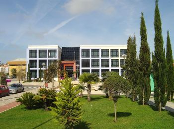
![Excursión A pie Lourinhã e Atalaia - Rota dos Dinossauros - Photo](https://media.geolcdn.com/t/350/260/e4cdd5d0-9d97-4c20-8517-75e1b0e53b1a.jpeg&format=jpg&maxdim=2)
![A pie A pie](https://static1.geolcdn.com/sitytour/trail-icons/100.png)
Km
A pie
![](/images/other/stat-length.png)
![](https://static1.geolcdn.com/siteimages/upload/files/1508320355ic_sort_den_pos_24dp.png)
![](https://static1.geolcdn.com/siteimages/upload/files/1508320355ic_sort_den_neg_24dp.png)
![](https://static1.geolcdn.com/siteimages/upload/files/16400158638029165_repeat_loop_refresh_sync_direction_icon.png)
• Trail created by http://www.cm-lourinha.pt. O PR1 "Rota dos Dinossauros" inicia-se junto ao Museu da Lourinhã, que i...
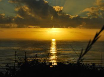
![Excursión A pie A dos Cunhados e Maceira - Rota do Atlântico - Photo](https://media.geolcdn.com/t/350/260/4c9a3719-f01b-44c7-9392-a1af5d775536.jpeg&format=jpg&maxdim=2)
![A pie A pie](https://static1.geolcdn.com/sitytour/trail-icons/100.png)
Km
A pie
![](/images/other/stat-length.png)
![](https://static1.geolcdn.com/siteimages/upload/files/1508320355ic_sort_den_pos_24dp.png)
![](https://static1.geolcdn.com/siteimages/upload/files/1508320355ic_sort_den_neg_24dp.png)
![](https://static1.geolcdn.com/siteimages/upload/files/16400158638029165_repeat_loop_refresh_sync_direction_icon.png)
• Trail created by Município de Torres Vedras. Sitio web: http://www.cm-tvedras.pt/atividade-fisica/percursos-pedest...
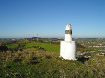
![Excursión A pie Turcifal - Rota dos Encantos - Photo](https://media.geolcdn.com/t/350/260/a5943450-f8cd-4c89-ac5d-d341e93a1473.jpeg&format=jpg&maxdim=2)
![A pie A pie](https://static1.geolcdn.com/sitytour/trail-icons/100.png)
Km
A pie
![](/images/other/stat-length.png)
![](https://static1.geolcdn.com/siteimages/upload/files/1508320355ic_sort_den_pos_24dp.png)
![](https://static1.geolcdn.com/siteimages/upload/files/1508320355ic_sort_den_neg_24dp.png)
![](https://static1.geolcdn.com/siteimages/upload/files/16400158638029165_repeat_loop_refresh_sync_direction_icon.png)
• Trail created by Município de Torres Vedras. Symbol: Yellow over Red Sitio web: http://www.cm-tvedras.pt/atividade...
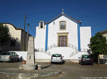
![Excursión A pie Dois Portos e Runa - Rota da Vinha e do Vinho - Photo](https://media.geolcdn.com/t/350/260/9988f08b-c8ba-47ca-9b96-728c199d91f7.jpeg&format=jpg&maxdim=2)
![A pie A pie](https://static1.geolcdn.com/sitytour/trail-icons/100.png)
Km
A pie
![](/images/other/stat-length.png)
![](https://static1.geolcdn.com/siteimages/upload/files/1508320355ic_sort_den_pos_24dp.png)
![](https://static1.geolcdn.com/siteimages/upload/files/1508320355ic_sort_den_neg_24dp.png)
![](https://static1.geolcdn.com/siteimages/upload/files/16400158638029165_repeat_loop_refresh_sync_direction_icon.png)
• Trail created by Município de Torres Vedras. Symbol: Yellow over Red Sitio web: http://www.cm-tvedras.pt/atividade...
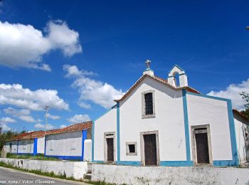
![Excursión A pie Maxial e Monte Redondo - Rota das Lapas - Photo](https://media.geolcdn.com/t/350/260/0f74451f-f338-41a2-87ea-607f685e0dba.jpeg&format=jpg&maxdim=2)
![A pie A pie](https://static1.geolcdn.com/sitytour/trail-icons/100.png)
Km
A pie
![](/images/other/stat-length.png)
![](https://static1.geolcdn.com/siteimages/upload/files/1508320355ic_sort_den_pos_24dp.png)
![](https://static1.geolcdn.com/siteimages/upload/files/1508320355ic_sort_den_neg_24dp.png)
![](https://static1.geolcdn.com/siteimages/upload/files/16400158638029165_repeat_loop_refresh_sync_direction_icon.png)
• Sitio web: http://www.cm-tvedras.pt/atividade-fisica/percursos-pedestres/pr3-tvd/
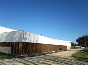
![Excursión A pie Santa Maria, São Pedro e Matacães - Rota do Castro do Zambujal - Photo](https://media.geolcdn.com/t/350/260/b6196e00-b6e7-4ff7-a6d0-23b1a8a543a8.jpeg&format=jpg&maxdim=2)
![A pie A pie](https://static1.geolcdn.com/sitytour/trail-icons/100.png)
Km
A pie
![](/images/other/stat-length.png)
![](https://static1.geolcdn.com/siteimages/upload/files/1508320355ic_sort_den_pos_24dp.png)
![](https://static1.geolcdn.com/siteimages/upload/files/1508320355ic_sort_den_neg_24dp.png)
![](https://static1.geolcdn.com/siteimages/upload/files/16400158638029165_repeat_loop_refresh_sync_direction_icon.png)
• Trail created by Câmara Municipal de Torres Vedras. Sitio web: http://www.cm-tvedras.pt/atividade-fisica/percursos...
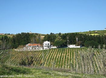
![Excursión A pie Freiria - Rota do Vento - Photo](https://media.geolcdn.com/t/350/260/8cf2d5be-142f-4564-9612-87bc1edddc2d.jpeg&format=jpg&maxdim=2)
![A pie A pie](https://static1.geolcdn.com/sitytour/trail-icons/100.png)
Km
A pie
![](/images/other/stat-length.png)
![](https://static1.geolcdn.com/siteimages/upload/files/1508320355ic_sort_den_pos_24dp.png)
![](https://static1.geolcdn.com/siteimages/upload/files/1508320355ic_sort_den_neg_24dp.png)
![](https://static1.geolcdn.com/siteimages/upload/files/16400158638029165_repeat_loop_refresh_sync_direction_icon.png)
• Trail created by Município de Torres Vedras. Symbol: Yellow over Red Sitio web: http://www.cm-tvedras.pt/atividade...
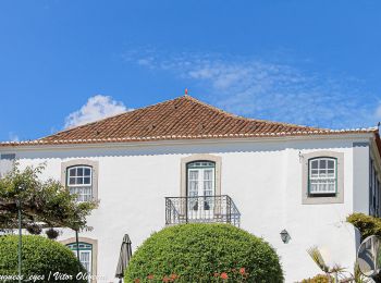
![Excursión A pie Carvoeira e Carmões - Rota das Quintas - Photo](https://media.geolcdn.com/t/350/260/06230ace-96f5-4094-a508-c85ca288b61f.jpeg&format=jpg&maxdim=2)
![A pie A pie](https://static1.geolcdn.com/sitytour/trail-icons/100.png)
Km
A pie
![](/images/other/stat-length.png)
![](https://static1.geolcdn.com/siteimages/upload/files/1508320355ic_sort_den_pos_24dp.png)
![](https://static1.geolcdn.com/siteimages/upload/files/1508320355ic_sort_den_neg_24dp.png)
![](https://static1.geolcdn.com/siteimages/upload/files/16400158638029165_repeat_loop_refresh_sync_direction_icon.png)
• Trail created by Município de Torres Vedras. Sitio web: http://www.cm-tvedras.pt/atividade-fisica/percursos-pedest...
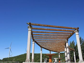
![Excursión A pie Santo Quintino - Rota dos Moinhos do Sobral - Photo](https://media.geolcdn.com/t/350/260/6b44e356-b644-46c9-9f12-db9fa593cb0a.jpeg&format=jpg&maxdim=2)
![A pie A pie](https://static1.geolcdn.com/sitytour/trail-icons/100.png)
Km
A pie
![](/images/other/stat-length.png)
![](https://static1.geolcdn.com/siteimages/upload/files/1508320355ic_sort_den_pos_24dp.png)
![](https://static1.geolcdn.com/siteimages/upload/files/1508320355ic_sort_den_neg_24dp.png)
![](https://static1.geolcdn.com/siteimages/upload/files/16400158638029165_repeat_loop_refresh_sync_direction_icon.png)
• Trail created by Município de Sobral do Monte Agraço.
![Excursión A pie Carvoeira e Carmões - Rota da Luz - Photo](https://media.geolcdn.com/t/350/260/ext.jpg?maxdim=2&url=https%3A%2F%2Fstatic1.geolcdn.com%2Fsiteimages%2Fupload%2Ffiles%2F1545311037marcheuse_200dpi.jpg)
![A pie A pie](https://static1.geolcdn.com/sitytour/trail-icons/100.png)
Km
A pie
![](/images/other/stat-length.png)
![](https://static1.geolcdn.com/siteimages/upload/files/1508320355ic_sort_den_pos_24dp.png)
![](https://static1.geolcdn.com/siteimages/upload/files/1508320355ic_sort_den_neg_24dp.png)
![](https://static1.geolcdn.com/siteimages/upload/files/16400158638029165_repeat_loop_refresh_sync_direction_icon.png)
• Trail created by Município de Torres Vedras. Symbol: Yellow over Red Sitio web: http://www.cm-tvedras.pt/atividade...
![Excursión A pie Sapataria - Rota do Sizandro - Photo](https://media.geolcdn.com/t/350/260/ext.jpg?maxdim=2&url=https%3A%2F%2Fstatic1.geolcdn.com%2Fsiteimages%2Fupload%2Ffiles%2F1545311037marcheuse_200dpi.jpg)
![A pie A pie](https://static1.geolcdn.com/sitytour/trail-icons/100.png)
Km
A pie
![](/images/other/stat-length.png)
![](https://static1.geolcdn.com/siteimages/upload/files/1508320355ic_sort_den_pos_24dp.png)
![](https://static1.geolcdn.com/siteimages/upload/files/1508320355ic_sort_den_neg_24dp.png)
![](https://static1.geolcdn.com/siteimages/upload/files/16400158638029165_repeat_loop_refresh_sync_direction_icon.png)
• Trail created by Município de Sobral de Monte Agraço.
12 excursiones mostradas en 12
Aplicación GPS de excursión GRATIS