


4 km | 5,9 km-effort
powiat krośnieński: Descubra las mejores excursiones: 11 a pie. Todos estos circuitos, recorridos, itinerarios y actividades al aire libre están disponibles en nuestras aplicaciones SityTrail para smartphone y tablet.
A pie


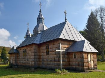
• Trail created by Gmina Rymanów.
A pie
• Zmieniłem kolor szlaku na czarny w celu poprawienia czytelności na mapach. W pewnym momencie równolegle przebiegały t...
A pie
• Sitio web: http://www.szlaki-beskid.klikklik.pl/szlaki/szlaki_gminne_inne/szlak_rymanow_przymiarki_iwonicz.php
A pie
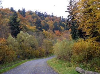
• Symbol: yellow (biało-żółty kwadrat)
A pie
A pie
A pie
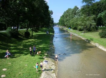
• Trail created by Minister Środowiska.
A pie
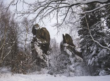
• Trail created by Nadleśnictwo Dukla.
A pie

A pie
• Trail created by Minister Środowiska.
A pie
11 excursiones mostradas en 11
Aplicación GPS de excursión GRATIS
 SityTrail
IGN / Institutos geográficos
SityTrail World
El mundo es suyo