


3,1 km | 3,6 km-effort
Marka: Descubra las mejores excursiones: 9 a pie. Todos estos circuitos, recorridos, itinerarios y actividades al aire libre están disponibles en nuestras aplicaciones SityTrail para smartphone y tablet.
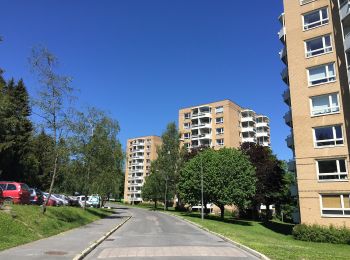
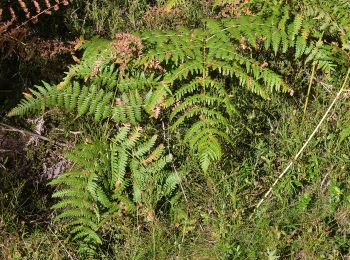
A pie


• Trail created by Oslo kommune Bymiljøetaten. Symbol: signposted
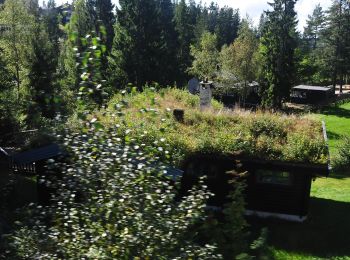
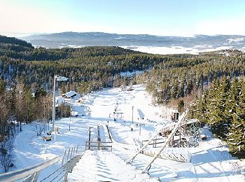
A pie
• Trail created by Oslo kommune Bymiljøetaten. Symbol: signposted
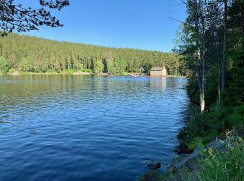
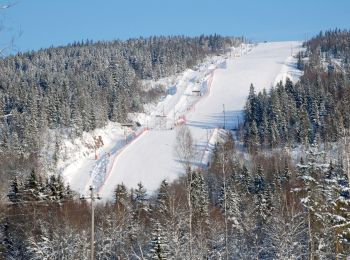
A pie
• Trail created by Oslo kommune Bymiljøetaten. Symbol: White pine tree on dark green square
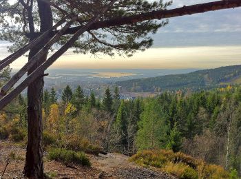
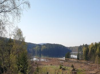
A pie
• Trail created by Oslo kommune Bymiljøetaten. Symbol: White pine tree on dark green square
A pie
• Sitio web: http://www.maridalensvenner.no/den-gamle-nordmarksveien.4507151-28323.html
A pie
A pie
A pie

A pie
9 excursiones mostradas en 9
Aplicación GPS de excursión GRATIS
 SityTrail
IGN / Institutos geográficos
SityTrail World
El mundo es suyo