


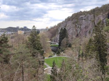
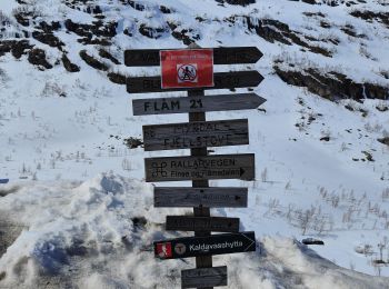
7,5 km | 9,8 km-effort
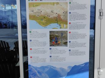
Norway: Descubra los 449 mejores circuitos de excursión a pie o en bici. Nuestro catálogo, preparado manualmente por nuestros excursionistas, está lleno de magníficos paisajes para explorar. Descargue estos itinerarios en SityTrail, nuestra aplicación de GPS de excursiones gratis disponible en Android e iOS.
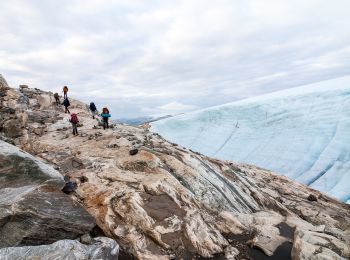
Senderismo


Senderismo
Senderismo
Senderismo
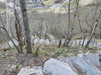
Senderismo
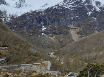
Senderismo
Senderismo

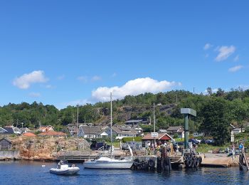
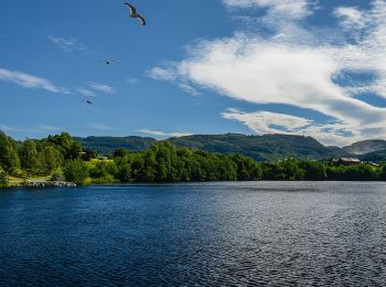
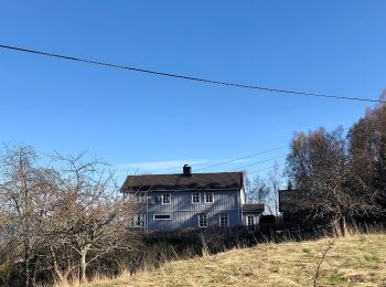
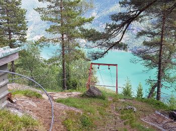
A pie
• Alternative Pilgrimspath from Tunisberg (Tønsberg) to Oslo; mapped to Øverland; from here same route as Gudbrandsdals...
A pie
• Alternative Pilgrimspath from Tunisberg (Tønsberg) to Oslo; mapped to Øverland; from here same route as Gudbrandsdals...

A pie
• Sitio web: https://sites.google.com/trondheim.kommune.no/naertur/n%C3%A6rturer/tillerrunden

A pie
• completes Kyststien between Follo and Oslo
A pie
• Sitio web: https://sites.google.com/trondheim.kommune.no/naertur/n%C3%A6rturer/leirfossrunden

A pie
• incomplete Sitio web: https://sites.google.com/trondheim.kommune.no/naertur/n%C3%A6rturer/ranheimsrunden
A pie
• Trail created by DNT Ringerike. Proposed trailblazing

A pie
• Trail created by Kvinnherad Turlag.
A pie
• Trail created by Den Norske Turistforening.
A pie
• Trail created by Kvinnherad Turlag.
A pie
• Trail created by Kvinnherad Turlag.
A pie
• Trail created by Kvinnherad Turlag.
20 excursiones mostradas en 449
Aplicación GPS de excursión GRATIS
 SityTrail
IGN / Institutos geográficos
SityTrail World
El mundo es suyo