


6,6 km | 7,3 km-effort
Wijchen: Descubra las mejores excursiones: 6 a pie y 4 senderismo. Todos estos circuitos, recorridos, itinerarios y actividades al aire libre están disponibles en nuestras aplicaciones SityTrail para smartphone y tablet.
A pie


• Oude beukenlanen, vennen, moerasruigten, rivierduinen en landgoederen. Ontdek de mooiste plekken van Rijk van Nijmege...
A pie
• Oude beukenlanen, vennen, moerasruigten, rivierduinen en landgoederen. Ontdek de mooiste plekken van Rijk van Nijmege...
A pie
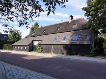
• Een monumentale Vlaamse schuur met een historische bakoven. Een lange tafel met grote lampenkappen. Samen vertellen z...
A pie
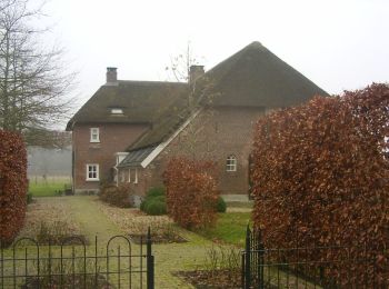
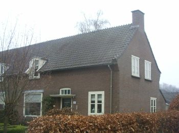
• Overwegend beboste terreintjes op de rug en aan de voet van een gordel van rivierduinen, die opvallend boven het vlak...
A pie
• Overwegend beboste terreintjes op de rug en aan de voet van een gordel van rivierduinen, die opvallend boven het vlak...
A pie
• Overwegend beboste terreintjes op de rug en aan de voet van een gordel van rivierduinen, die opvallend boven het vlak...

Senderismo
• More information on GPStracks.nl : http://www.gpstracks.nl
Senderismo
• More information on GPStracks.nl : http://www.gpstracks.nl
Senderismo
• More information on GPStracks.nl : http://www.gpstracks.nl
Senderismo
• More information on GPStracks.nl : http://www.gpstracks.nl
10 excursiones mostradas en 10
Aplicación GPS de excursión GRATIS
 SityTrail
IGN / Institutos geográficos
SityTrail World
El mundo es suyo