![](/images/other/stat-length.png)
- Excursiones
- A pie
- Netherlands
- Güeldres
Güeldres, Netherlands, A pie: Los mejores itinerarios de excursión, recorridos, paseos y sendas
Güeldres: Descubra las mejores excursiones: 249 a pie, 199 senderismo y 5 marcha nórdica. Todos estos circuitos, recorridos, itinerarios y actividades al aire libre están disponibles en nuestras aplicaciones SityTrail para smartphone y tablet.
Los mejores recorridos (451)
![Excursión A pie Ede - Oud Reemst - Blauw - Photo](https://media.geolcdn.com/t/350/260/7f30981a-8c7c-4f0d-ac51-6ff256539cde.jpeg&format=jpg&maxdim=2)
![A pie A pie](https://static1.geolcdn.com/sitytour/trail-icons/100.png)
Km
A pie
![](/images/other/stat-length.png)
![](https://static1.geolcdn.com/siteimages/upload/files/1508320355ic_sort_den_pos_24dp.png)
![](https://static1.geolcdn.com/siteimages/upload/files/1508320355ic_sort_den_neg_24dp.png)
![](https://static1.geolcdn.com/siteimages/upload/files/16400158638029165_repeat_loop_refresh_sync_direction_icon.png)
• Trail created by Natuurmonumenten. Symbol: Blue dot painted on stones
![Excursión A pie Putten - Oldenallerpad - Photo](https://media.geolcdn.com/t/350/260/b4069828-ba18-435c-9d97-76e99bce9ea3.jpeg&format=jpg&maxdim=2)
![A pie A pie](https://static1.geolcdn.com/sitytour/trail-icons/100.png)
Km
A pie
![](/images/other/stat-length.png)
![](https://static1.geolcdn.com/siteimages/upload/files/1508320355ic_sort_den_pos_24dp.png)
![](https://static1.geolcdn.com/siteimages/upload/files/1508320355ic_sort_den_neg_24dp.png)
![](https://static1.geolcdn.com/siteimages/upload/files/16400158638029165_repeat_loop_refresh_sync_direction_icon.png)
• Op klompenpaden.nl vindt u de mooiste wandelroutes over boerenland in de provincies Utrecht en Gelderland. Ieder Klom...
![Excursión A pie Berkelland - Lievestrowandeling - Photo](https://media.geolcdn.com/t/350/260/e062a773-e9aa-47a5-81c0-5f1895ceb941.jpeg&format=jpg&maxdim=2)
![A pie A pie](https://static1.geolcdn.com/sitytour/trail-icons/100.png)
Km
A pie
![](/images/other/stat-length.png)
![](https://static1.geolcdn.com/siteimages/upload/files/1508320355ic_sort_den_pos_24dp.png)
![](https://static1.geolcdn.com/siteimages/upload/files/1508320355ic_sort_den_neg_24dp.png)
![](https://static1.geolcdn.com/siteimages/upload/files/16400158638029165_repeat_loop_refresh_sync_direction_icon.png)
• Trail created by Stichting Vrijwilligers Natuuronderhoud Ruurlo. Symbol: Witte wandelaar op rode achtergrond Sitio...
![Excursión A pie Ermelo - Houtdorperveld-Route - Photo](https://media.geolcdn.com/t/350/260/dev_f269ac71-0dff-44ea-8053-f97e721c4bcd.jpeg&format=jpg&maxdim=2)
![A pie A pie](https://static1.geolcdn.com/sitytour/trail-icons/100.png)
Km
A pie
![](/images/other/stat-length.png)
![](https://static1.geolcdn.com/siteimages/upload/files/1508320355ic_sort_den_pos_24dp.png)
![](https://static1.geolcdn.com/siteimages/upload/files/1508320355ic_sort_den_neg_24dp.png)
![](https://static1.geolcdn.com/siteimages/upload/files/16400158638029165_repeat_loop_refresh_sync_direction_icon.png)
• Symbol: Purple poles
![Excursión A pie Lochem - Rondje Velhorst - Photo](https://media.geolcdn.com/t/350/260/55919bbd-4040-4eb2-9b13-521e584d1f27.jpeg&format=jpg&maxdim=2)
![A pie A pie](https://static1.geolcdn.com/sitytour/trail-icons/100.png)
Km
A pie
![](/images/other/stat-length.png)
![](https://static1.geolcdn.com/siteimages/upload/files/1508320355ic_sort_den_pos_24dp.png)
![](https://static1.geolcdn.com/siteimages/upload/files/1508320355ic_sort_den_neg_24dp.png)
![](https://static1.geolcdn.com/siteimages/upload/files/16400158638029165_repeat_loop_refresh_sync_direction_icon.png)
• Trail created by Natuurmonumenten. Symbol: Rode Pijlen
![Excursión A pie Renkum - Rondje Beekdal - Photo](https://media.geolcdn.com/t/350/260/7f45de1d-bdc1-4def-be6b-ac60cd7374f4.jpeg&format=jpg&maxdim=2)
![A pie A pie](https://static1.geolcdn.com/sitytour/trail-icons/100.png)
Km
A pie
![](/images/other/stat-length.png)
![](https://static1.geolcdn.com/siteimages/upload/files/1508320355ic_sort_den_pos_24dp.png)
![](https://static1.geolcdn.com/siteimages/upload/files/1508320355ic_sort_den_neg_24dp.png)
![](https://static1.geolcdn.com/siteimages/upload/files/16400158638029165_repeat_loop_refresh_sync_direction_icon.png)
• Trail created by Stichting Renkums Beekdal. Symbol: donkere pijlen op blauwe achtergrond Sitio web: https://www.re...
![Excursión A pie Rheden - Heuven Beekhuizen Veluwezoom - Photo](https://media.geolcdn.com/t/350/260/dev_12d775fd-018a-4172-8520-ee8284edff92.jpeg&format=jpg&maxdim=2)
![A pie A pie](https://static1.geolcdn.com/sitytour/trail-icons/100.png)
Km
A pie
![](/images/other/stat-length.png)
![](https://static1.geolcdn.com/siteimages/upload/files/1508320355ic_sort_den_pos_24dp.png)
![](https://static1.geolcdn.com/siteimages/upload/files/1508320355ic_sort_den_neg_24dp.png)
![](https://static1.geolcdn.com/siteimages/upload/files/16400158638029165_repeat_loop_refresh_sync_direction_icon.png)
• Trail created by Natuurmonumenten. Symbol: bruine pijlen Sitio web: https://www.natuurmonumenten.nl/natuurgebieden...
![Excursión A pie Rheden - Veluwezoom-Posbank - Photo](https://media.geolcdn.com/t/350/260/dev_12d775fd-018a-4172-8520-ee8284edff92.jpeg&format=jpg&maxdim=2)
![A pie A pie](https://static1.geolcdn.com/sitytour/trail-icons/100.png)
Km
A pie
![](/images/other/stat-length.png)
![](https://static1.geolcdn.com/siteimages/upload/files/1508320355ic_sort_den_pos_24dp.png)
![](https://static1.geolcdn.com/siteimages/upload/files/1508320355ic_sort_den_neg_24dp.png)
![](https://static1.geolcdn.com/siteimages/upload/files/16400158638029165_repeat_loop_refresh_sync_direction_icon.png)
• Wandel over de uitgestrekte heide van Nationaal Park Veluwezoom. Geniet op deze heuvelachtige wandelroute van weidse ...
![Excursión A pie Lochem - Klompenpad De Schoolt - Photo](https://media.geolcdn.com/t/350/260/f59dc5f3-fc55-417e-921d-d3a0e5f94b9f.jpeg&format=jpg&maxdim=2)
![A pie A pie](https://static1.geolcdn.com/sitytour/trail-icons/100.png)
Km
A pie
![](/images/other/stat-length.png)
![](https://static1.geolcdn.com/siteimages/upload/files/1508320355ic_sort_den_pos_24dp.png)
![](https://static1.geolcdn.com/siteimages/upload/files/1508320355ic_sort_den_neg_24dp.png)
![](https://static1.geolcdn.com/siteimages/upload/files/16400158638029165_repeat_loop_refresh_sync_direction_icon.png)
• Trail created by Recreatieschap Achterhoek Liemers.
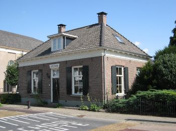
![Excursión A pie Lochem - Oolde route - Photo](https://media.geolcdn.com/t/350/260/3ea46db5-fe8c-4045-8f3b-ee1a32549e12.jpeg&format=jpg&maxdim=2)
![A pie A pie](https://static1.geolcdn.com/sitytour/trail-icons/100.png)
Km
A pie
![](/images/other/stat-length.png)
![](https://static1.geolcdn.com/siteimages/upload/files/1508320355ic_sort_den_pos_24dp.png)
![](https://static1.geolcdn.com/siteimages/upload/files/1508320355ic_sort_den_neg_24dp.png)
![](https://static1.geolcdn.com/siteimages/upload/files/16400158638029165_repeat_loop_refresh_sync_direction_icon.png)
• Trail created by Recreatieschap Achterhoek Liemers. Sitio web: http://www.recreatieschap.nl/startpunten/top_de_zon...
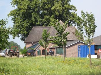
![Excursión A pie Lochem - Kring van Dorth route - Photo](https://media.geolcdn.com/t/350/260/cdb6f195-109f-4757-ac64-d28e1fe40842.jpeg&format=jpg&maxdim=2)
![A pie A pie](https://static1.geolcdn.com/sitytour/trail-icons/100.png)
Km
A pie
![](/images/other/stat-length.png)
![](https://static1.geolcdn.com/siteimages/upload/files/1508320355ic_sort_den_pos_24dp.png)
![](https://static1.geolcdn.com/siteimages/upload/files/1508320355ic_sort_den_neg_24dp.png)
![](https://static1.geolcdn.com/siteimages/upload/files/16400158638029165_repeat_loop_refresh_sync_direction_icon.png)
• Trail created by Recreatieschap Achterhoek Liemers.
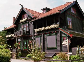
![Excursión A pie Lochem - Rondje Dortherbeek - Photo](https://media.geolcdn.com/t/350/260/58446372-02e2-4511-9a30-efa0229e12c8.jpeg&format=jpg&maxdim=2)
![A pie A pie](https://static1.geolcdn.com/sitytour/trail-icons/100.png)
Km
A pie
![](/images/other/stat-length.png)
![](https://static1.geolcdn.com/siteimages/upload/files/1508320355ic_sort_den_pos_24dp.png)
![](https://static1.geolcdn.com/siteimages/upload/files/1508320355ic_sort_den_neg_24dp.png)
![](https://static1.geolcdn.com/siteimages/upload/files/16400158638029165_repeat_loop_refresh_sync_direction_icon.png)
• Trail created by Recreatieschap Achterhoek Liemers.
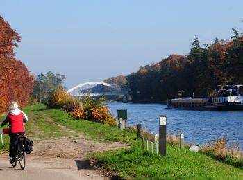
![Excursión A pie Lochem - Harfsense Beekroute - Photo](https://media.geolcdn.com/t/350/260/ec043d6b-133c-417c-a7ed-d32abca43419.jpeg&format=jpg&maxdim=2)
![A pie A pie](https://static1.geolcdn.com/sitytour/trail-icons/100.png)
Km
A pie
![](/images/other/stat-length.png)
![](https://static1.geolcdn.com/siteimages/upload/files/1508320355ic_sort_den_pos_24dp.png)
![](https://static1.geolcdn.com/siteimages/upload/files/1508320355ic_sort_den_neg_24dp.png)
![](https://static1.geolcdn.com/siteimages/upload/files/16400158638029165_repeat_loop_refresh_sync_direction_icon.png)
• Trail created by Recreatieschap Achterhoek Liemers.
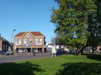
![Excursión A pie Bronckhorst - Hackfortse Enkroute - Photo](https://media.geolcdn.com/t/350/260/40f9f402-e097-413d-87d3-c98c81a339fc.jpeg&format=jpg&maxdim=2)
![A pie A pie](https://static1.geolcdn.com/sitytour/trail-icons/100.png)
Km
A pie
![](/images/other/stat-length.png)
![](https://static1.geolcdn.com/siteimages/upload/files/1508320355ic_sort_den_pos_24dp.png)
![](https://static1.geolcdn.com/siteimages/upload/files/1508320355ic_sort_den_neg_24dp.png)
![](https://static1.geolcdn.com/siteimages/upload/files/16400158638029165_repeat_loop_refresh_sync_direction_icon.png)
• Trail created by Recreatieschap Achterhoek Liemers. Sitio web: http://www.recreatieschap.nl/routes.aspx
![Excursión A pie Lochem - Molenbeek route - Photo](https://media.geolcdn.com/t/350/260/3ea46db5-fe8c-4045-8f3b-ee1a32549e12.jpeg&format=jpg&maxdim=2)
![A pie A pie](https://static1.geolcdn.com/sitytour/trail-icons/100.png)
Km
A pie
![](/images/other/stat-length.png)
![](https://static1.geolcdn.com/siteimages/upload/files/1508320355ic_sort_den_pos_24dp.png)
![](https://static1.geolcdn.com/siteimages/upload/files/1508320355ic_sort_den_neg_24dp.png)
![](https://static1.geolcdn.com/siteimages/upload/files/16400158638029165_repeat_loop_refresh_sync_direction_icon.png)
• Trail created by Recreatieschap Achterhoek Liemers. Sitio web: http://www.recreatieschap.nl/startpunten/top_de_zon...
![Excursión A pie Lochem - Rondje Laren - Photo](https://media.geolcdn.com/t/350/260/3ea46db5-fe8c-4045-8f3b-ee1a32549e12.jpeg&format=jpg&maxdim=2)
![A pie A pie](https://static1.geolcdn.com/sitytour/trail-icons/100.png)
Km
A pie
![](/images/other/stat-length.png)
![](https://static1.geolcdn.com/siteimages/upload/files/1508320355ic_sort_den_pos_24dp.png)
![](https://static1.geolcdn.com/siteimages/upload/files/1508320355ic_sort_den_neg_24dp.png)
![](https://static1.geolcdn.com/siteimages/upload/files/16400158638029165_repeat_loop_refresh_sync_direction_icon.png)
• Trail created by Recreatieschap Achterhoek Liemers. Sitio web: http://www.recreatieschap.nl/startpunten/top_de_zon...
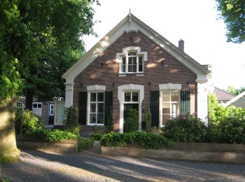
![Excursión A pie Lochem - Rondje Almen - Photo](https://media.geolcdn.com/t/350/260/9448f3cc-3218-4985-8aea-1eaf9a59cd1e.jpeg&format=jpg&maxdim=2)
![A pie A pie](https://static1.geolcdn.com/sitytour/trail-icons/100.png)
Km
A pie
![](/images/other/stat-length.png)
![](https://static1.geolcdn.com/siteimages/upload/files/1508320355ic_sort_den_pos_24dp.png)
![](https://static1.geolcdn.com/siteimages/upload/files/1508320355ic_sort_den_neg_24dp.png)
![](https://static1.geolcdn.com/siteimages/upload/files/16400158638029165_repeat_loop_refresh_sync_direction_icon.png)
• Trail created by Recreatieschap Achterhoek Liemers.
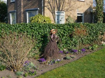
![Excursión A pie Lochem - Rondje Twentekanaal - Photo](https://media.geolcdn.com/t/350/260/9ce72cfc-4f01-405e-8354-54a0e629964d.jpeg&format=jpg&maxdim=2)
![A pie A pie](https://static1.geolcdn.com/sitytour/trail-icons/100.png)
Km
A pie
![](/images/other/stat-length.png)
![](https://static1.geolcdn.com/siteimages/upload/files/1508320355ic_sort_den_pos_24dp.png)
![](https://static1.geolcdn.com/siteimages/upload/files/1508320355ic_sort_den_neg_24dp.png)
![](https://static1.geolcdn.com/siteimages/upload/files/16400158638029165_repeat_loop_refresh_sync_direction_icon.png)
• Trail created by Recreatieschap Achterhoek Liemers.
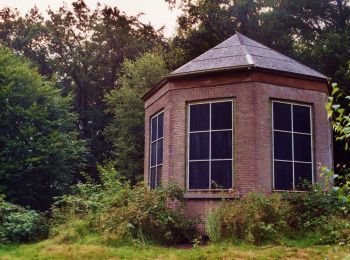
![Excursión A pie Lochem - Joppe route - Photo](https://media.geolcdn.com/t/350/260/70910ec5-52c3-4974-b7ed-ee089430acef.jpeg&format=jpg&maxdim=2)
![A pie A pie](https://static1.geolcdn.com/sitytour/trail-icons/100.png)
Km
A pie
![](/images/other/stat-length.png)
![](https://static1.geolcdn.com/siteimages/upload/files/1508320355ic_sort_den_pos_24dp.png)
![](https://static1.geolcdn.com/siteimages/upload/files/1508320355ic_sort_den_neg_24dp.png)
![](https://static1.geolcdn.com/siteimages/upload/files/16400158638029165_repeat_loop_refresh_sync_direction_icon.png)
• Trail created by Recreatieschap Achterhoek Liemers.
![Excursión A pie Lochem - Quatre Brasroute - Photo](https://media.geolcdn.com/t/350/260/823323ba-3c62-4c73-8c6b-9d023885589a.jpeg&format=jpg&maxdim=2)
![A pie A pie](https://static1.geolcdn.com/sitytour/trail-icons/100.png)
Km
A pie
![](/images/other/stat-length.png)
![](https://static1.geolcdn.com/siteimages/upload/files/1508320355ic_sort_den_pos_24dp.png)
![](https://static1.geolcdn.com/siteimages/upload/files/1508320355ic_sort_den_neg_24dp.png)
![](https://static1.geolcdn.com/siteimages/upload/files/16400158638029165_repeat_loop_refresh_sync_direction_icon.png)
• Trail created by Recreatieschap Achterhoek Liemers.
20 excursiones mostradas en 451
Aplicación GPS de excursión GRATIS