


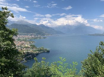
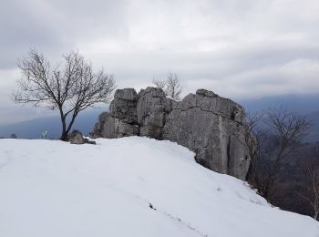
15,3 km | 25 km-effort
Como: Descubra las mejores excursiones: 44 a pie y 34 senderismo. Todos estos circuitos, recorridos, itinerarios y actividades al aire libre están disponibles en nuestras aplicaciones SityTrail para smartphone y tablet.
Senderismo


Senderismo
Senderismo
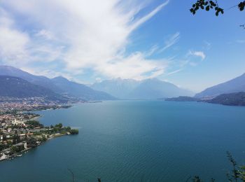
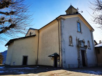
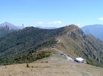
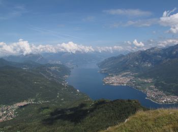
A pie
• Symbol: red-white-red vertical stripes with a black text "4"
A pie
• Club Alpino Italiano Sezione di SEREGNO Sitio web: http://www.caiseregno.it
A pie
• Club Alpino Italiano Sezione di SEREGNO Sitio web: http://www.caiseregno.it
A pie
• Club Alpino Italiano Sezione di SEREGNO
A pie
• Club Alpino Italiano Sezione di SEREGNO
A pie
• Trail created by Associazione Amici di Pigra. Sitio web: http://www.aapigra.it/aap/escursioni/sentieri/777-percors...
A pie
• Trail created by Associazione Amici di Pigra. Sitio web: http://www.aapigra.it/aap/escursioni/sentieri/738-percors...
A pie
• Trail created by Parco della Brughiera Briantea.
A pie
• Club Alpino Italiano Sezione di SEREGNO
A pie
• Sitio web: http://www.comune.canzo.co.it/zf/index.php/servizi-aggiuntivi/index/index/idtesto/123
A pie
• Club Alpino Italiano Sezione di SEREGNO
A pie
• Sitio web: http://www.comune.canzo.co.it/zf/index.php/servizi-aggiuntivi/index/index/idtesto/121
A pie
• Club Alpino Italiano Sezione di SEREGNO
A pie
• Sentiero Italia CAI 2019
A pie
• Sentiero Italia CAI 2019
A pie
• Cammina Italia CAI 1995-1999
A pie
• Sentiero Italia CAI 2019
20 excursiones mostradas en 78
Aplicación GPS de excursión GRATIS
 SityTrail
IGN / Institutos geográficos
SityTrail World
El mundo es suyo