


27 km | 46 km-effort
Pavía: Descubra las mejores excursiones: 80 a pie y 5 senderismo. Todos estos circuitos, recorridos, itinerarios y actividades al aire libre están disponibles en nuestras aplicaciones SityTrail para smartphone y tablet.

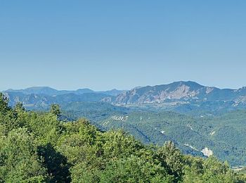
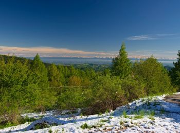
A pie


• Symbol: 101 on white red flags
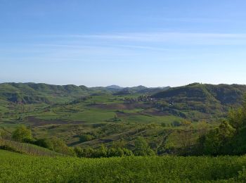
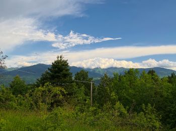
A pie
• Trail created by Parco lombardo della Valle del Ticino.
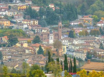
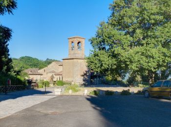
A pie
• Trail created by Parco lombardo della Valle del Ticino.
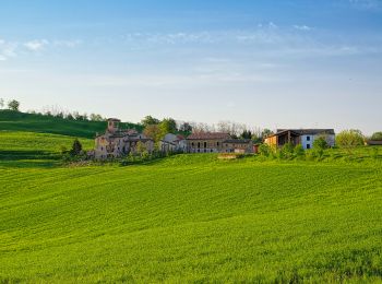
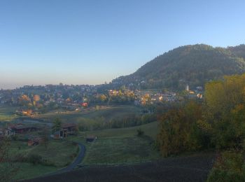
A pie
• Sitio web: https://www.cmop.movimentolento.it/
A pie
• Sitio web: https://www.cmop.movimentolento.it/
A pie
• Sitio web: https://www.cmop.movimentolento.it/
A pie
• Sitio web: https://www.cmop.movimentolento.it/
A pie
• Sitio web: https://www.cmop.movimentolento.it/
A pie
• Sitio web: https://www.cmop.movimentolento.it/
A pie
• Sitio web: https://www.cmop.movimentolento.it/
A pie
• Sitio web: https://www.cmop.movimentolento.it/
A pie
• Sitio web: https://www.cmop.movimentolento.it/
A pie
• Sitio web: https://www.cmop.movimentolento.it/
A pie
• Sitio web: https://www.cmop.movimentolento.it/
A pie
• Sitio web: https://www.cmop.movimentolento.it/
A pie
• Sitio web: https://www.cmop.movimentolento.it/
A pie
• Sitio web: https://www.cmop.movimentolento.it/
A pie
• Sitio web: https://www.cmop.movimentolento.it/
A pie
• Sitio web: https://www.cmop.movimentolento.it/
A pie
• Sitio web: https://www.cmop.movimentolento.it/
20 excursiones mostradas en 85
Aplicación GPS de excursión GRATIS
 SityTrail
IGN / Institutos geográficos
SityTrail World
El mundo es suyo