![](/images/other/stat-length.png)
- Excursiones
- A pie
- Italy
- Lombardía
- Varese
Varese, Lombardía, A pie: Los mejores itinerarios de excursión, recorridos, paseos y sendas
Varese: Descubra las mejores excursiones: 93 a pie y 2 senderismo. Todos estos circuitos, recorridos, itinerarios y actividades al aire libre están disponibles en nuestras aplicaciones SityTrail para smartphone y tablet.
Los mejores recorridos (95)
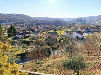
![Excursión A pie Laveno-Mombello - Anulare Valcuviano - Photo](https://media.geolcdn.com/t/350/260/4c23e9a5-5369-4b45-81e0-b5a7e2447a49.jpeg&format=jpg&maxdim=2)
![A pie A pie](https://static1.geolcdn.com/sitytour/trail-icons/100.png)
Km
A pie
![](/images/other/stat-length.png)
![](https://static1.geolcdn.com/siteimages/upload/files/1508320355ic_sort_den_pos_24dp.png)
![](https://static1.geolcdn.com/siteimages/upload/files/1508320355ic_sort_den_neg_24dp.png)
![](https://static1.geolcdn.com/siteimages/upload/files/16400158638029165_repeat_loop_refresh_sync_direction_icon.png)
• Trail created by Provincia di Varese.
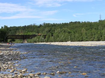
![Excursión A pie Lonate Pozzolo - Via Gaggio - Photo](https://media.geolcdn.com/t/350/260/65b81f30-5f26-4735-878f-c3876ca443bb.jpeg&format=jpg&maxdim=2)
![A pie A pie](https://static1.geolcdn.com/sitytour/trail-icons/100.png)
Km
A pie
![](/images/other/stat-length.png)
![](https://static1.geolcdn.com/siteimages/upload/files/1508320355ic_sort_den_pos_24dp.png)
![](https://static1.geolcdn.com/siteimages/upload/files/1508320355ic_sort_den_neg_24dp.png)
![](https://static1.geolcdn.com/siteimages/upload/files/16400158638029165_repeat_loop_refresh_sync_direction_icon.png)
• Trail created by Parco lombardo della Valle del Ticino.
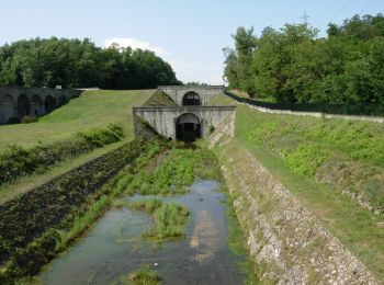
![Excursión A pie Vizzola Ticino - Ansa di Castelnovate - Photo](https://media.geolcdn.com/t/350/260/47a4fb51-cfd1-4681-855c-ad57784626db.jpeg&format=jpg&maxdim=2)
![A pie A pie](https://static1.geolcdn.com/sitytour/trail-icons/100.png)
Km
A pie
![](/images/other/stat-length.png)
![](https://static1.geolcdn.com/siteimages/upload/files/1508320355ic_sort_den_pos_24dp.png)
![](https://static1.geolcdn.com/siteimages/upload/files/1508320355ic_sort_den_neg_24dp.png)
![](https://static1.geolcdn.com/siteimages/upload/files/16400158638029165_repeat_loop_refresh_sync_direction_icon.png)
• Trail created by Parco lombardo della Valle del Ticino.
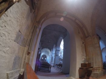
![Excursión A pie Sesto Calende - Sentiero delle Meraviglie nascoste - Photo](https://media.geolcdn.com/t/350/260/668ab327-1fa6-4e67-87a9-3e92c7684ff2.jpeg&format=jpg&maxdim=2)
![A pie A pie](https://static1.geolcdn.com/sitytour/trail-icons/100.png)
Km
A pie
![](/images/other/stat-length.png)
![](https://static1.geolcdn.com/siteimages/upload/files/1508320355ic_sort_den_pos_24dp.png)
![](https://static1.geolcdn.com/siteimages/upload/files/1508320355ic_sort_den_neg_24dp.png)
![](https://static1.geolcdn.com/siteimages/upload/files/16400158638029165_repeat_loop_refresh_sync_direction_icon.png)
• Oriano Ticino è una piccola frazione di Sesto Calende con ville e parchi ottocenteschi privati, un antico lavatoio ed...
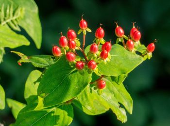
![Excursión A pie Casalzuigno - Via Verde Varesina tappa 6 - Photo](https://media.geolcdn.com/t/350/260/a665dbad-6161-45d8-a763-59e78cc4439c.jpeg&format=jpg&maxdim=2)
![A pie A pie](https://static1.geolcdn.com/sitytour/trail-icons/100.png)
Km
A pie
![](/images/other/stat-length.png)
![](https://static1.geolcdn.com/siteimages/upload/files/1508320355ic_sort_den_pos_24dp.png)
![](https://static1.geolcdn.com/siteimages/upload/files/1508320355ic_sort_den_neg_24dp.png)
![](https://static1.geolcdn.com/siteimages/upload/files/16400158638029165_repeat_loop_refresh_sync_direction_icon.png)
• Trail created by Provincia di Varese.
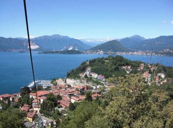
![Excursión A pie Casalzuigno - Via Verde Varesina tappa 4 - Photo](https://media.geolcdn.com/t/350/260/98c02d10-dabb-49b5-aa5c-24361f7494ae.jpeg&format=jpg&maxdim=2)
![A pie A pie](https://static1.geolcdn.com/sitytour/trail-icons/100.png)
Km
A pie
![](/images/other/stat-length.png)
![](https://static1.geolcdn.com/siteimages/upload/files/1508320355ic_sort_den_pos_24dp.png)
![](https://static1.geolcdn.com/siteimages/upload/files/1508320355ic_sort_den_neg_24dp.png)
![](https://static1.geolcdn.com/siteimages/upload/files/16400158638029165_repeat_loop_refresh_sync_direction_icon.png)
• Trail created by Provincia di Varese.
![Excursión A pie Varese - Via Verde Varesina Tappa 3 - Photo](https://media.geolcdn.com/t/350/260/f7bf4573-73bb-47c7-a9d0-7b51faf56d18.jpeg&format=jpg&maxdim=2)
![A pie A pie](https://static1.geolcdn.com/sitytour/trail-icons/100.png)
Km
A pie
![](/images/other/stat-length.png)
![](https://static1.geolcdn.com/siteimages/upload/files/1508320355ic_sort_den_pos_24dp.png)
![](https://static1.geolcdn.com/siteimages/upload/files/1508320355ic_sort_den_neg_24dp.png)
![](https://static1.geolcdn.com/siteimages/upload/files/16400158638029165_repeat_loop_refresh_sync_direction_icon.png)
• Trail created by Provincia di Varese.
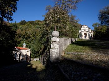
![Excursión A pie Varese - Via Verde Varesina tappa 2 - Photo](https://media.geolcdn.com/t/350/260/e34df6ca-a9ba-41d0-aeaf-7afb84970c00.jpeg&format=jpg&maxdim=2)
![A pie A pie](https://static1.geolcdn.com/sitytour/trail-icons/100.png)
Km
A pie
![](/images/other/stat-length.png)
![](https://static1.geolcdn.com/siteimages/upload/files/1508320355ic_sort_den_pos_24dp.png)
![](https://static1.geolcdn.com/siteimages/upload/files/1508320355ic_sort_den_neg_24dp.png)
![](https://static1.geolcdn.com/siteimages/upload/files/16400158638029165_repeat_loop_refresh_sync_direction_icon.png)
• Trail created by Provincia di Varese.
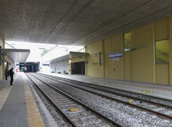
![Excursión A pie Porto Ceresio - Via Verde Varesina tappa 1 - Photo](https://media.geolcdn.com/t/350/260/e9575b87-6844-4d44-b855-68e97d696f12.jpeg&format=jpg&maxdim=2)
![A pie A pie](https://static1.geolcdn.com/sitytour/trail-icons/100.png)
Km
A pie
![](/images/other/stat-length.png)
![](https://static1.geolcdn.com/siteimages/upload/files/1508320355ic_sort_den_pos_24dp.png)
![](https://static1.geolcdn.com/siteimages/upload/files/1508320355ic_sort_den_neg_24dp.png)
![](https://static1.geolcdn.com/siteimages/upload/files/16400158638029165_repeat_loop_refresh_sync_direction_icon.png)
• Trail created by Provincia di Varese.
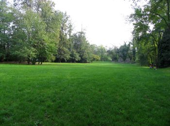
![Excursión A pie Cairate - Grandtour RTO - Photo](https://media.geolcdn.com/t/350/260/69bf5015-ae12-46b3-a3fd-2ca933a332bb.jpeg&format=jpg&maxdim=2)
![A pie A pie](https://static1.geolcdn.com/sitytour/trail-icons/100.png)
Km
A pie
![](/images/other/stat-length.png)
![](https://static1.geolcdn.com/siteimages/upload/files/1508320355ic_sort_den_pos_24dp.png)
![](https://static1.geolcdn.com/siteimages/upload/files/1508320355ic_sort_den_neg_24dp.png)
![](https://static1.geolcdn.com/siteimages/upload/files/16400158638029165_repeat_loop_refresh_sync_direction_icon.png)
• Sitio web: http://www.parco-rto.it
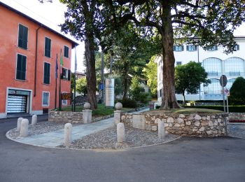
![Excursión A pie Ispra - Sentiero delle fornaci - Photo](https://media.geolcdn.com/t/350/260/90587552-0a1a-415b-b953-e3871a4896c7.jpeg&format=jpg&maxdim=2)
![A pie A pie](https://static1.geolcdn.com/sitytour/trail-icons/100.png)
Km
A pie
![](/images/other/stat-length.png)
![](https://static1.geolcdn.com/siteimages/upload/files/1508320355ic_sort_den_pos_24dp.png)
![](https://static1.geolcdn.com/siteimages/upload/files/1508320355ic_sort_den_neg_24dp.png)
![](https://static1.geolcdn.com/siteimages/upload/files/16400158638029165_repeat_loop_refresh_sync_direction_icon.png)
• Sitio web: http://www.agenda21laghi.it/
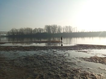
![Excursión A pie Taino - Anello delle castagne - Photo](https://media.geolcdn.com/t/350/260/795f7415-b28e-4517-a8c6-5421b31d0704.jpeg&format=jpg&maxdim=2)
![A pie A pie](https://static1.geolcdn.com/sitytour/trail-icons/100.png)
Km
A pie
![](/images/other/stat-length.png)
![](https://static1.geolcdn.com/siteimages/upload/files/1508320355ic_sort_den_pos_24dp.png)
![](https://static1.geolcdn.com/siteimages/upload/files/1508320355ic_sort_den_neg_24dp.png)
![](https://static1.geolcdn.com/siteimages/upload/files/16400158638029165_repeat_loop_refresh_sync_direction_icon.png)
• Sitio web: http://www.agenda21laghi.it/
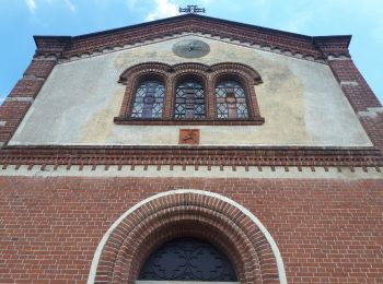
![Excursión A pie Angera - Sentiero dei lavatoi - Photo](https://media.geolcdn.com/t/350/260/975596c4-8e59-4dc1-a187-c1306bf42f1a.jpeg&format=jpg&maxdim=2)
![A pie A pie](https://static1.geolcdn.com/sitytour/trail-icons/100.png)
Km
A pie
![](/images/other/stat-length.png)
![](https://static1.geolcdn.com/siteimages/upload/files/1508320355ic_sort_den_pos_24dp.png)
![](https://static1.geolcdn.com/siteimages/upload/files/1508320355ic_sort_den_neg_24dp.png)
![](https://static1.geolcdn.com/siteimages/upload/files/16400158638029165_repeat_loop_refresh_sync_direction_icon.png)
• Sitio web: http://www.agenda21laghi.it/
![Excursión A pie Biandronno - Sentiero delle pesche - Photo](https://media.geolcdn.com/t/350/260/92b45210-9b2f-4da6-877f-2d6715d17797.jpeg&format=jpg&maxdim=2)
![A pie A pie](https://static1.geolcdn.com/sitytour/trail-icons/100.png)
Km
A pie
![](/images/other/stat-length.png)
![](https://static1.geolcdn.com/siteimages/upload/files/1508320355ic_sort_den_pos_24dp.png)
![](https://static1.geolcdn.com/siteimages/upload/files/1508320355ic_sort_den_neg_24dp.png)
![](https://static1.geolcdn.com/siteimages/upload/files/16400158638029165_repeat_loop_refresh_sync_direction_icon.png)
• Sitio web: http://www.agenda21laghi.it/
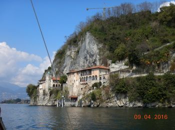
![Excursión A pie Leggiuno - Anello di Santa Caterina - Photo](https://media.geolcdn.com/t/350/260/a07fc679-03be-453a-bd27-6d3a9ca5aaa1.jpeg&format=jpg&maxdim=2)
![A pie A pie](https://static1.geolcdn.com/sitytour/trail-icons/100.png)
Km
A pie
![](/images/other/stat-length.png)
![](https://static1.geolcdn.com/siteimages/upload/files/1508320355ic_sort_den_pos_24dp.png)
![](https://static1.geolcdn.com/siteimages/upload/files/1508320355ic_sort_den_neg_24dp.png)
![](https://static1.geolcdn.com/siteimages/upload/files/16400158638029165_repeat_loop_refresh_sync_direction_icon.png)
• Sitio web: http://www.agenda21laghi.it/VieVerdi/index.htm
![Excursión A pie Mornago - TSP Ticino Seprio Pineta - Photo](https://media.geolcdn.com/t/350/260/c8171591-fd1d-4027-a4e8-b4b0ee67ee69.jpeg&format=jpg&maxdim=2)
![A pie A pie](https://static1.geolcdn.com/sitytour/trail-icons/100.png)
Km
A pie
![](/images/other/stat-length.png)
![](https://static1.geolcdn.com/siteimages/upload/files/1508320355ic_sort_den_pos_24dp.png)
![](https://static1.geolcdn.com/siteimages/upload/files/1508320355ic_sort_den_neg_24dp.png)
![](https://static1.geolcdn.com/siteimages/upload/files/16400158638029165_repeat_loop_refresh_sync_direction_icon.png)
• Trail created by Parco RTO Rile Tenore Olona. Sitio web: http://www.parco-rto.it
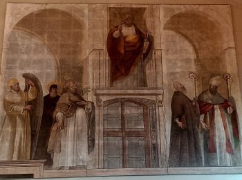
![Excursión A pie Gazzada Schianno - Collegamento Gazzada dorsale RTO - Photo](https://media.geolcdn.com/t/350/260/4789c4e6-ea2e-4b47-a4cf-0c428471273c.jpeg&format=jpg&maxdim=2)
![A pie A pie](https://static1.geolcdn.com/sitytour/trail-icons/100.png)
Km
A pie
![](/images/other/stat-length.png)
![](https://static1.geolcdn.com/siteimages/upload/files/1508320355ic_sort_den_pos_24dp.png)
![](https://static1.geolcdn.com/siteimages/upload/files/1508320355ic_sort_den_neg_24dp.png)
![](https://static1.geolcdn.com/siteimages/upload/files/16400158638029165_repeat_loop_refresh_sync_direction_icon.png)
• Trail created by Parco RTO Rile Tenore Olona. Sitio web: http://www.parco-rto.it
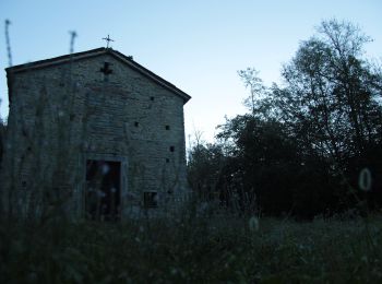
![Excursión A pie Gallarate - Sentiero Strona - Photo](https://media.geolcdn.com/t/350/260/3f1b6b05-241e-4c69-b337-3e0bd751fd7f.jpeg&format=jpg&maxdim=2)
![A pie A pie](https://static1.geolcdn.com/sitytour/trail-icons/100.png)
Km
A pie
![](/images/other/stat-length.png)
![](https://static1.geolcdn.com/siteimages/upload/files/1508320355ic_sort_den_pos_24dp.png)
![](https://static1.geolcdn.com/siteimages/upload/files/1508320355ic_sort_den_neg_24dp.png)
![](https://static1.geolcdn.com/siteimages/upload/files/16400158638029165_repeat_loop_refresh_sync_direction_icon.png)
• Trail created by Parco lombardo della valle del Ticino. Sitio web: http://www.parcoticino.it/
![Excursión A pie Sesto Calende - Sentiero dell' Ipposidra - Photo](https://media.geolcdn.com/t/350/260/65b81f30-5f26-4735-878f-c3876ca443bb.jpeg&format=jpg&maxdim=2)
![A pie A pie](https://static1.geolcdn.com/sitytour/trail-icons/100.png)
Km
A pie
![](/images/other/stat-length.png)
![](https://static1.geolcdn.com/siteimages/upload/files/1508320355ic_sort_den_pos_24dp.png)
![](https://static1.geolcdn.com/siteimages/upload/files/1508320355ic_sort_den_neg_24dp.png)
![](https://static1.geolcdn.com/siteimages/upload/files/16400158638029165_repeat_loop_refresh_sync_direction_icon.png)
• Trail created by Parco lombardo della valle del Ticino.
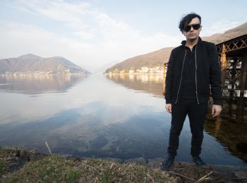
![Excursión A pie Marchirolo - (SI D06) Marchirolo - Porto Ceresio - Photo](https://media.geolcdn.com/t/350/260/3d91a6d4-e631-47f2-a075-649e428616cb.jpeg&format=jpg&maxdim=2)
![A pie A pie](https://static1.geolcdn.com/sitytour/trail-icons/100.png)
Km
A pie
![](/images/other/stat-length.png)
![](https://static1.geolcdn.com/siteimages/upload/files/1508320355ic_sort_den_pos_24dp.png)
![](https://static1.geolcdn.com/siteimages/upload/files/1508320355ic_sort_den_neg_24dp.png)
![](https://static1.geolcdn.com/siteimages/upload/files/16400158638029165_repeat_loop_refresh_sync_direction_icon.png)
• Sentiero Italia CAI 2019
20 excursiones mostradas en 95
Aplicación GPS de excursión GRATIS
Actividades
Regiones próximas
- Agra
- Angera
- Arsago Seprio
- Bardello
- Besozzo
- Biandronno
- Brezzo di Bedero
- Brinzio
- Brusimpiano
- Busto Arsizio
- Cairate
- Caravate
- Cardano al Campo
- Casalzuigno
- Casciago
- Casorate Sempione
- Cassano Magnago
- Cassano Valcuvia
- Castellanza
- Castello Cabiaglio
- Castelveccana
- Cavaria con Premezzo
- Cittiglio
- Cocquio Trevisago
- Comerio
- Cuasso al Monte
- Curiglia con Monteviasco
- Cuveglio
- Dumenza
- Fagnano Olona
- Ferno
- Gallarate
- Gavirate
- Gazzada Schianno
- Inarzo
- Induno Olona
- Ispra
- Lavena Ponte Tresa
- Laveno-Mombello
- Leggiuno
- Lonate Ceppino
- Lonate Pozzolo
- Luino
- Luvinate
- Maccagno con Pino e Veddasca
- Malgesso
- Marchirolo
- Mercallo
- Mesenzana
- Montegrino Valtravaglia
- Morazzone
- Mornago
- Orino
- Porto Ceresio
- Porto Valtravaglia
- Ranco
- Samarate
- Sangiano
- Sesto Calende
- Somma Lombardo
- Sumirago
- Taino
- Tronzano Lago Maggiore
- Valganna
- Varese
- Vergiate
- Viggiù
- Vizzola Ticino