


6,2 km | 12,7 km-effort
Erve: Descubra las mejores excursiones: 3 a pie. Todos estos circuitos, recorridos, itinerarios y actividades al aire libre están disponibles en nuestras aplicaciones SityTrail para smartphone y tablet.
A pie


• Trail created by Comunità Montana Valle San Martino.
A pie
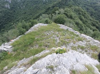
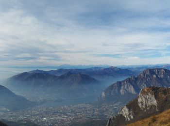
• Trail created by CAI Monza. Symbol: red-white-yellow vertical bars with the black text "11"
A pie
• Trail created by CAI Monza. Symbol: red-white-yellow vertical bars with the black text "11"
3 excursiones mostradas en 3
Aplicación GPS de excursión GRATIS
 SityTrail
IGN / Institutos geográficos
SityTrail World
El mundo es suyo