


4,2 km | 5,1 km-effort
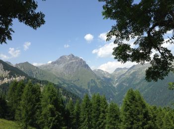
Breno: Descubra las mejores excursiones: 13 a pie. Todos estos circuitos, recorridos, itinerarios y actividades al aire libre están disponibles en nuestras aplicaciones SityTrail para smartphone y tablet.
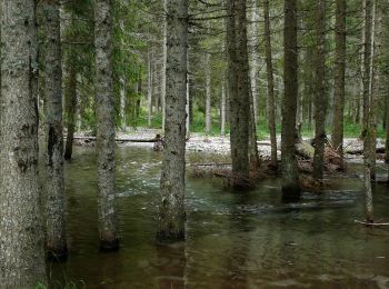
A pie


• Trail created by Sci di fondo Gaver.
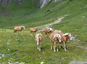
A pie
• Trail created by Club Alpino Italiano.
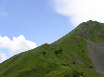
A pie
• Trail created by Club Alpino Italiano.
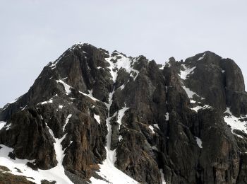
A pie
• Trail created by Club Alpino Italiano.
A pie
• Trail created by Club Alpino Italiano.
A pie
• Trail created by Club Alpino Italiano.
A pie
• Trail created by Club Alpino Italiano.
A pie
• Trail created by Club Alpino Italiano - Sezione di Breno. Symbol: 121 on white red flag

A pie
• Trail created by Club Alpino Italiano - Sezione di Breno. Symbol: red-white-red horizontal bars
A pie
• Trail created by Club Alpino Italiano - Sezione di Breno. Symbol: red-white-red horizontal bars
A pie
• Trail created by Club Alpino Italiano.
A pie
• Trail created by Club Alpino Italiano.

A pie
• Trail created by Club Alpino Italiano Palazzolo sull'Oglio.
13 excursiones mostradas en 13
Aplicación GPS de excursión GRATIS
 SityTrail
IGN / Institutos geográficos
SityTrail World
El mundo es suyo