


7,9 km | 10,3 km-effort
Pistoia: Descubra las mejores excursiones: 11 a pie. Todos estos circuitos, recorridos, itinerarios y actividades al aire libre están disponibles en nuestras aplicaciones SityTrail para smartphone y tablet.
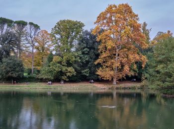
A pie


• Trail created by C.A.I..
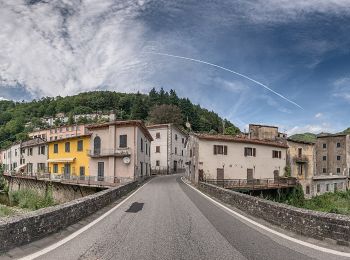
A pie
• Sentiero Italia CAI 2019
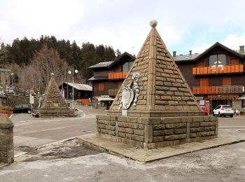
A pie
• Trail created by Provincia di Pistoia.
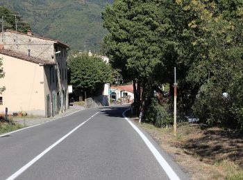
A pie
• Trail created by CAI Pistoia.
A pie
• Trail created by CAI Pistoia.

A pie
• Trail created by CAI Pistoia.
A pie
• Trail created by CAI Prato.
A pie
• Trail created by CAI.
A pie
• Trail created by CAI Prato.
A pie
• Trail created by CAI Pistoia.

A pie
• Trail created by C.A.I..
11 excursiones mostradas en 11
Aplicación GPS de excursión GRATIS
 SityTrail
IGN / Institutos geográficos
SityTrail World
El mundo es suyo