


7,9 km | 12,4 km-effort
Calestano: Descubra las mejores excursiones: 4 a pie. Todos estos circuitos, recorridos, itinerarios y actividades al aire libre están disponibles en nuestras aplicaciones SityTrail para smartphone y tablet.
A pie


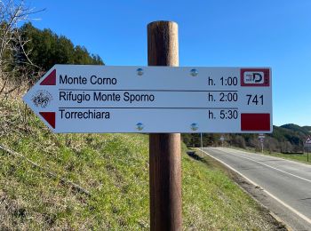
• Trail created by Club Alpino Italiano - sezione di Parma. relation maintained by Capataz (CAI Parma) Symbol: 773 on...
A pie
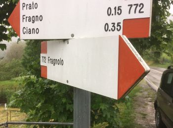
• Trail created by Club Alpino Italiano - sezione di Parma. relation maintained by Capataz (CAI Parma) Symbol: 772 on...
A pie
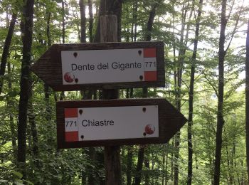
• relation maintained by Capataz (CAI Parma) Symbol: 771 on white red flags
A pie
• relation maintained by Capataz (CAI Parma) Symbol: 770 on white red flags
4 excursiones mostradas en 4
Aplicación GPS de excursión GRATIS
 SityTrail
IGN / Institutos geográficos
SityTrail World
El mundo es suyo