


7,7 km | 8,4 km-effort
The Municipal District of Muinebeag: Descubra las mejores excursiones: 5 a pie. Todos estos circuitos, recorridos, itinerarios y actividades al aire libre están disponibles en nuestras aplicaciones SityTrail para smartphone y tablet.
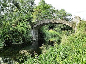
A pie


• Ruta creada por Slí na Sláinte - Irish Heart Foundation.
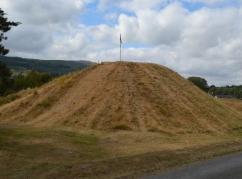
A pie
• Ruta creada por Slí na Sláinte - Irish Heart Foundation.
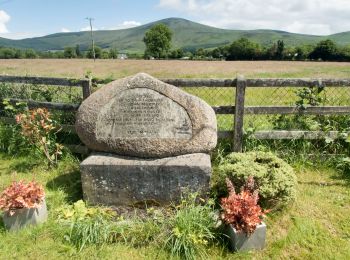
A pie
• Ruta creada por Slí na Sláinte - Irish Heart Foundation.
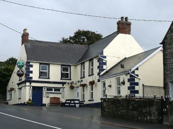
A pie
A pie
5 excursiones mostradas en 5
Aplicación GPS de excursión GRATIS
 SityTrail
IGN / Institutos geográficos
SityTrail World
El mundo es suyo