


7 km | 11,8 km-effort
Ireland: Descubra los 225 mejores circuitos de excursión a pie o en bici. Nuestro catálogo, preparado manualmente por nuestros excursionistas, está lleno de magníficos paisajes para explorar. Descargue estos itinerarios en SityTrail, nuestra aplicación de GPS de excursiones gratis disponible en Android e iOS.
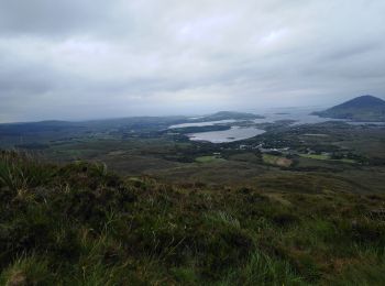
Senderismo


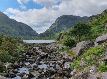
Senderismo
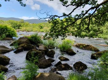
Senderismo
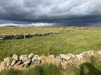
Senderismo

Senderismo
Senderismo
Senderismo
Senderismo
Senderismo
Senderismo
Senderismo
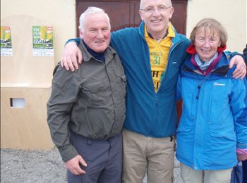
• A walk in Glenfarne, Co. Leitrim outside the Ballroom of Romance at 12 noon

Senderismo
• Hard walk
Senderismo
Senderismo
Senderismo
Senderismo
•

Senderismo
Senderismo
Senderismo
Senderismo
20 excursiones mostradas en 225
Aplicación GPS de excursión GRATIS
 SityTrail
IGN / Institutos geográficos
SityTrail World
El mundo es suyo