


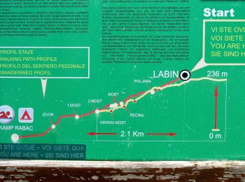
5,4 km | 6,6 km-effort
Istarska županija: Descubra las mejores excursiones: 23 a pie y 5 senderismo. Todos estos circuitos, recorridos, itinerarios y actividades al aire libre están disponibles en nuestras aplicaciones SityTrail para smartphone y tablet.
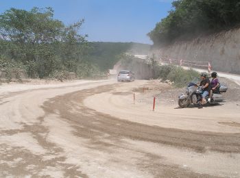
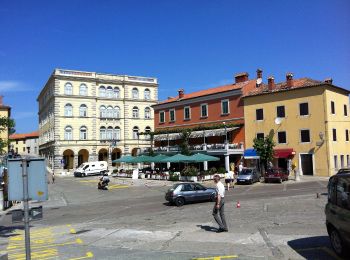
A pie


• Ruta creada por Istra Trails. Símbolo: green bar on yellow ground Sitio web: http://www.istria-trails.com/hr/staze...
A pie
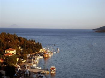
• Ruta creada por Istra Trails.
A pie
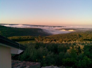
• Ruta creada por Istra Trails.
A pie
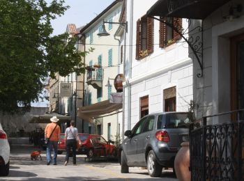
• Ruta creada por Istra Trails.

A pie
• Ruta creada por Istra Trails.
A pie
• Ruta creada por Istra Trails.
A pie
• Ruta creada por Istra Trails.
A pie
• Símbolo: Red circle with white dot in the middle
A pie
A pie
A pie
A pie
A pie
A pie
A pie

A pie
A pie

A pie
• Ruta creada por Istra Trails.
A pie
A pie
20 excursiones mostradas en 28
Aplicación GPS de excursión GRATIS
 SityTrail
IGN / Institutos geográficos
SityTrail World
El mundo es suyo