


13,9 km | 18,5 km-effort
Ličko-senjska županija: Descubra las mejores excursiones: 60 a pie y 18 senderismo. Todos estos circuitos, recorridos, itinerarios y actividades al aire libre están disponibles en nuestras aplicaciones SityTrail para smartphone y tablet.
Senderismo


A pie
• Ruta creada por HPD Zagreb-Matica, Zagreb.
A pie
• Ruta creada por PD Industrogradnja, Zagreb.
A pie
• Ruta creada por PD Željezničar, Gospić (http://www.pdzeljeznicargospic.hr/).

A pie
• Ruta creada por PD Belveder.
A pie
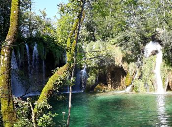
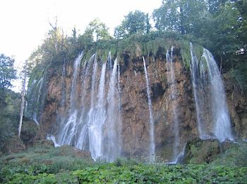
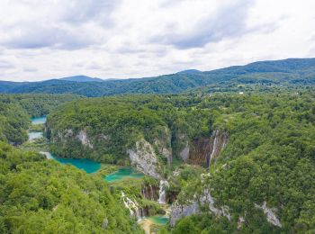
• Ruta creada por Nacionalni park Plitvička jezera.
A pie
• Ruta creada por Nacionalni park Plitvička jezera.
A pie
• Ruta creada por Nacionalni park Plitvička jezera.
A pie
• Ruta creada por HPD Zagreb-Matica, Zagreb.
A pie
• Ruta creada por HPD Prpa, Baške Oštarije.
A pie
• Ruta creada por PD Paklenica, Zadar.
A pie
• Ruta creada por PD Paklenica, Zadar. Vaganski vrh-(x)spoj s Lipom stazom-(x)odvojak za Brundo i Liburniju-Malovansko...
A pie
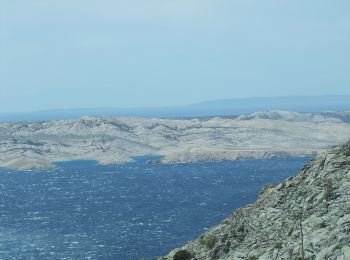
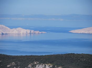
• The area of Paklenica is one of the most interesting karst areas of Velebit and Croatia. At the base of the series of...
A pie
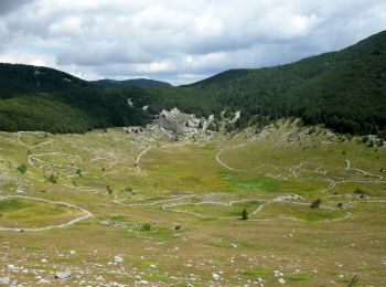
• The section from Šugarska duliba to Stap offers genuine wilderness, with forest calm and tranquility dominating this ...
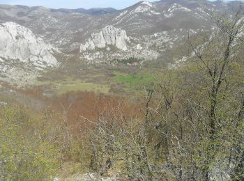
A pie
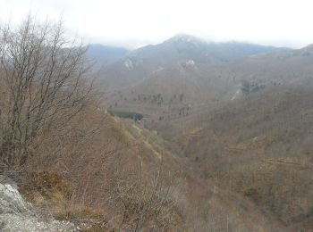
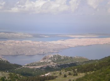
• Even though Velebit is at its narrowest in its southern section, this is also the area of its highest peaks. When vie...
A pie
• Unlike the section of central Velebit to the north, which is higher, but also characterized by grassland peaks with g...
A pie
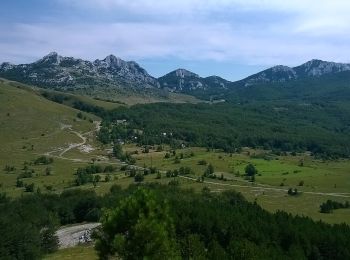
• Rožanski kukovi and Hajdučki kukovi are a unique combination of rocky peaks in the middle of Northern Velebit, and on...
A pie
• Rožanski kukovi and Hajdučki kukovi are a unique combination of rocky peaks in the middle of Northern Velebit, and on...
A pie
• Ruta creada por PD Zavižan, Senj.
A pie
• Ruta creada por HPD Stanko Kempny, Zagreb.
20 excursiones mostradas en 78
Aplicación GPS de excursión GRATIS
 SityTrail
IGN / Institutos geográficos
SityTrail World
El mundo es suyo