


3,1 km | 4,1 km-effort
Desconocido: Descubra las mejores excursiones: 12 a pie, 1 senderismo y 1 carrera. Todos estos circuitos, recorridos, itinerarios y actividades al aire libre están disponibles en nuestras aplicaciones SityTrail para smartphone y tablet.
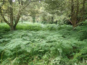
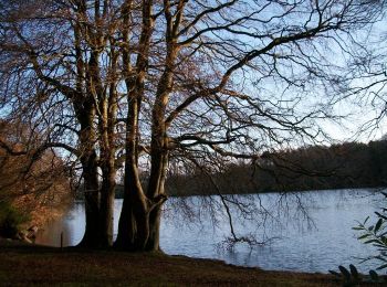
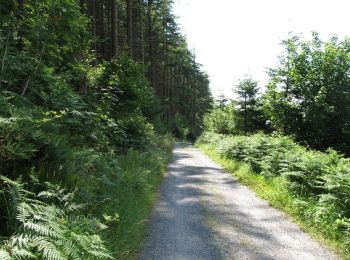
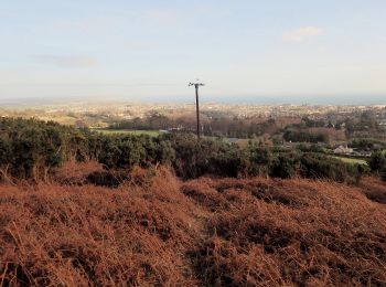
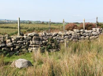
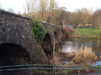
A pie


• Ruta creada por Newry, Mourne and Down District Council.
A pie
• Ruta creada por Newry, Mourne and Down District Council.
A pie
• Ruta creada por Newry, Mourne and Down District Council.
A pie
• Ruta creada por Newry, Mourne and Down District Council.
A pie
• Ruta creada por Newry, Mourne and Down District Council.
A pie
• Ruta creada por Forest Service.
A pie
• Ruta creada por Forest Service.
A pie
• Ruta creada por Forest Service.
A pie
A pie
A pie
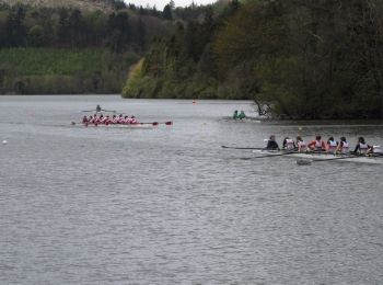
Carrera

A pie

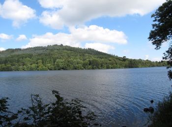
Senderismo
•
14 excursiones mostradas en 14
Aplicación GPS de excursión GRATIS
 SityTrail
IGN / Institutos geográficos
SityTrail World
El mundo es suyo