


25 km | 36 km-effort
Somerset: Descubra las mejores excursiones: 13 a pie y 6 senderismo. Todos estos circuitos, recorridos, itinerarios y actividades al aire libre están disponibles en nuestras aplicaciones SityTrail para smartphone y tablet.
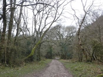
A pie


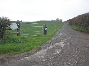
• Ruta creada por National Trust. Part two of a two-day walk on the Holnicote Estate.
A pie
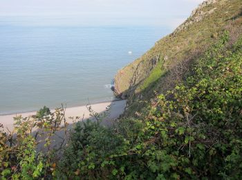
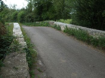
• Ruta creada por National Trust.
A pie
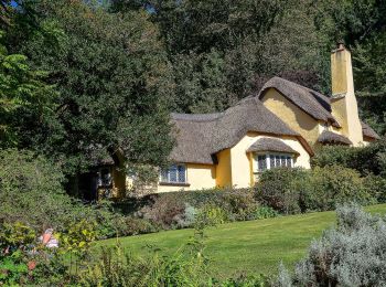
• Ruta creada por National Trust.
A pie
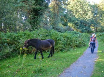
• Ruta creada por National Trust.
A pie

A pie
A pie

A pie
A pie
A pie
A pie
A pie

A pie

Senderismo
Senderismo
Senderismo
Senderismo
Senderismo
Senderismo
19 excursiones mostradas en 19
Aplicación GPS de excursión GRATIS
 SityTrail
IGN / Institutos geográficos
SityTrail World
El mundo es suyo