


8,2 km | 11,6 km-effort
Conwy: Descubra las mejores excursiones: 2 a pie y 6 senderismo. Todos estos circuitos, recorridos, itinerarios y actividades al aire libre están disponibles en nuestras aplicaciones SityTrail para smartphone y tablet.
A pie


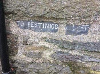
• Ruta creada por National Trust.
A pie
• Ruta creada por National Trust.
Senderismo
Senderismo

Senderismo
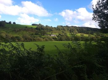
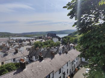
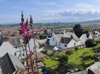
• Trop de pluie en montagne, je suis au niveau de la mer maintenant et il fait beau.

Senderismo
• Trop de pluie en montagne, je suis au niveau de la mer maintenant et il fait beau.
Senderismo
• Trop de pluie en montagne, je suis au niveau de la mer maintenant et il fait beau.

Senderismo
8 excursiones mostradas en 8
Aplicación GPS de excursión GRATIS
 SityTrail
IGN / Institutos geográficos
SityTrail World
El mundo es suyo