


6 km | 9,9 km-effort
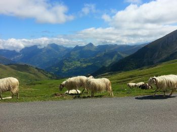
Béost: Descubra las mejores excursiones: 3 a pie, 34 senderismo y 1 carrera. Todos estos circuitos, recorridos, itinerarios y actividades al aire libre están disponibles en nuestras aplicaciones SityTrail para smartphone y tablet.
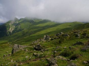
Senderismo


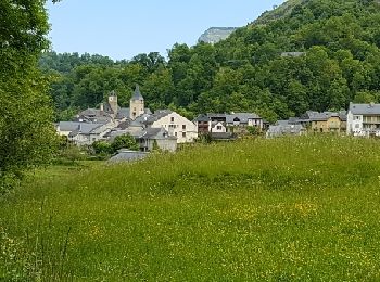
• Boucle des 3 villages, randonnée très agréable avec indication botanique sur une partie du parcours.
A pie
• Trail created by Communauté de Communes de la Vallée d'Ossau. Symbol: Trait jaune Sitio web: https://www.valleedos...
A pie
• Trail created by Communauté de Communes de la Vallée d’Ossau. Symbol: Trait jaune Sitio web: https://www.valleedos...
Senderismo

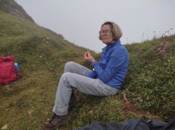
Senderismo
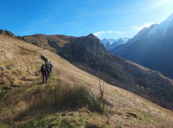
Senderismo

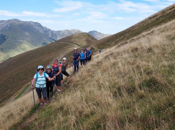
Senderismo

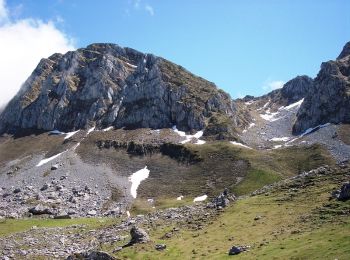
Senderismo
Senderismo
Senderismo
Senderismo
Senderismo
Senderismo
Senderismo
Senderismo
Senderismo
• Au départ de Bagés près de BEOST.
Senderismo
Senderismo
Senderismo
Senderismo
20 excursiones mostradas en 38
Aplicación GPS de excursión GRATIS
 SityTrail
IGN / Institutos geográficos
SityTrail World
El mundo es suyo